Nam Kliang District
Nam Kliang (Thai: น้ำเกลี้ยง, pronounced [náːm klîa̯ŋ]) is a district (amphoe) in the central part of Sisaket Province, northeastern Thailand.
Nam Kliang น้ำเกลี้ยง | |
|---|---|
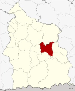 District location in Sisaket Province | |
| Coordinates: 14°55′38″N 104°30′47″E | |
| Country | Thailand |
| Province | Sisaket |
| Seat | Nam Kliang |
| Area | |
| • Total | 257.8 km2 (99.5 sq mi) |
| Population (2008) | |
| • Total | 43,339 |
| • Density | 168.1/km2 (435/sq mi) |
| Time zone | UTC+7 (ICT) |
| Postal code | 33130 |
| Geocode | 3315 |
Geography
Neighboring districts are (from the north clockwise): Kanthararom, Non Khun, Benchalak, Si Rattana, Phayu, and Mueang Sisaket.
History
The minor district (king amphoe) was created on 7 January 1986, when the four tambons, Nam Kliang, La-o, Tong Pit, and Khoen, were split off from Kanthararom District.[1] It was upgraded to a full district on 4 July 1994.[2]
Administration
The district is divided into six sub-districts (tambons), which are further subdivided into 75 villages (mubans). There are no municipal (thesaban) areas. There are six tambon administrative organizations (TAO).
| No. | Name | Thai | Villages | Pop. |
|---|---|---|---|---|
| 1. | Nam Kliang | น้ำเกลี้ยง | 10 | 5,869 |
| 2. | La-o | ละเอาะ | 13 | 7,703 |
| 3. | Tong Pit | ตองปิด | 14 | 7,254 |
| 4. | Khoen | เขิน | 13 | 7,904 |
| 5. | Rung Rawi | รุ่งระวี | 15 | 7,895 |
| 6. | Khup | คูบ | 10 | 6,714 |
References
- ประกาศกระทรวงมหาดไทย เรื่อง แบ่งเขตท้องที่อำเภอกันทรารมย์ จังหวัดศรีสะเกษ ตั้งเป็นกิ่งอำเภอน้ำเกลี้ยง (PDF). Royal Gazette (in Thai). 103 (9 ง): 157. 21 January 1986.
- พระราชกฤษฎีกาตั้งอำเภอเปือยน้อย ... และอำเภอศรีวิไล พ.ศ. ๒๕๓๗ (PDF). Royal Gazette (in Thai). 111 (21 ก): 32–35. 3 June 1994.
This article is issued from Wikipedia. The text is licensed under Creative Commons - Attribution - Sharealike. Additional terms may apply for the media files.