Montbrand
Montbrand is a commune in the Hautes-Alpes department in southeastern France.
Montbrand | |
|---|---|
Location of Montbrand 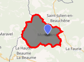
| |
 Montbrand  Montbrand | |
| Coordinates: 44°35′26″N 5°40′59″E | |
| Country | France |
| Region | Provence-Alpes-Côte d'Azur |
| Department | Hautes-Alpes |
| Arrondissement | Gap |
| Canton | Serres |
| Intercommunality | Haut Buëch |
| Government | |
| • Mayor (2008–2014) | Michel Truc |
| Area 1 | 25.03 km2 (9.66 sq mi) |
| Population (2017-01-01)[1] | 62 |
| • Density | 2.5/km2 (6.4/sq mi) |
| Time zone | UTC+01:00 (CET) |
| • Summer (DST) | UTC+02:00 (CEST) |
| INSEE/Postal code | 05080 /05140 |
| Elevation | 846–1,728 m (2,776–5,669 ft) (avg. 980 m or 3,220 ft) |
| 1 French Land Register data, which excludes lakes, ponds, glaciers > 1 km2 (0.386 sq mi or 247 acres) and river estuaries. | |
Population
| Historical population | ||
|---|---|---|
| Year | Pop. | ±% |
| 1962 | 37 | — |
| 1968 | 61 | +64.9% |
| 1975 | 57 | −6.6% |
| 1982 | 48 | −15.8% |
| 1990 | 49 | +2.1% |
| 1999 | 64 | +30.6% |
| 2008 | 50 | −21.9% |
References
- "Populations légales 2017". INSEE. Retrieved 6 January 2020.
| Wikimedia Commons has media related to Montbrand. |
This article is issued from Wikipedia. The text is licensed under Creative Commons - Attribution - Sharealike. Additional terms may apply for the media files.