Mae Sai
Mae Sai (Thai: แม่สาย, pronounced [mɛ̂ː sǎːj]; Shan: မႄႈသၢႆ, pronounced [mɛ.sʰǎj]), is the district town of Mae Sai District in the far north of Chiang Rai Province, Thailand. Mae Sai is a major border crossing between Thailand and Myanmar. Asian Highway Network AH2 (Thailand Route 1 or Phahonyothin Road) crosses the Mae Sai River to the town Tachileik in Myanmar. The town of Mae Sai and Tachileik are the bi-national conurbation shared between Thailand and Myanmar.
Mae Sai แม่สาย | |
|---|---|
_5.jpg) Monument marking the northern-most point of Thailand, Mae Sai | |
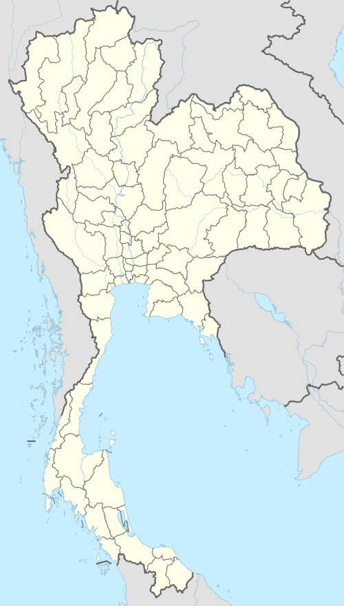 Mae Sai Location of Mae Sai in Thailand | |
| Coordinates: 20°25′41″N 99°53′1″E | |
| Country | Thailand |
| Province | Chiang Rai Province |
| Government | |
| • Type | Subdistrict municipality |
| Area | |
| • Subdistrict Municipality | 5.13 km2 (1.98 sq mi) |
| Population | |
| • Subdistrict Municipality | 22,778 [1] |
| • Metro | 212,815 [2] |
| Time zone | UTC+7 (ICT) |
| Website | www.maesai.go.th |
History
The Mae Sai sanitation district was created on 14 May 1956[3] It was upgraded to a municipality on 25 May 1999. The municipality governs neighborhoods (mu) 1, 2, 3, 10 Wiang Phang Kham subdistrict and Mu 2, 6, 7, 8, 10 Mae Sai Subdistrict
Geography
Neighboring districts are (from the north clockwise): Mae Sai River and Myanmar border; Mae Sai Mittrapab Subdistrict Municipality; Wiang Phang Kham Subdistrict Municipality.
The Tham Luang Nang Non cave is within the subdistrict.
See also
- Mae Sai District
- Mae Sai River
- Mae Sai Subdistrict
References
- ส่วนวิจัยและพัฒนาระบบ รูปแบบและโครงสร้าง. "ส่วนวิจัยและพัฒนาระบบ รูปแบบและโครงสร้าง สำนักพัฒนาระบบ รูปแบบและโครงสร้าง กรมส่งเสริมการปกครองท้องถิ่น." [ออนไลน์]. เข้าถึงได้จาก: 2557. สืบค้น 6 กุมภาพันธ์ 2558.
- including 4 Municipalities (Tachileik, Mae Sai, Mae Sai Mittrapab and Wiang Pang Kham ) : .
- ราชกิจจานุเบกษา.ประกาศกระทรวงมหาดไทย เรื่อง จัดตั้งสุขาภิบาลแม่สาย อำเภอแม่สาย จังหวัดเชียงราย: 2557.
External links
| Wikimedia Commons has media related to Mae Sai. |

| India |
| ||||
|---|---|---|---|---|---|
| Thailand |
| ||||