List of terrae on Mars
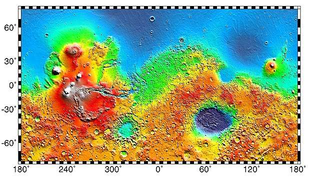
The following is a list of regions on Mars given the name Terra (pl. Terrae). Most cover large, rugged areas, often including outflow channels, cratering, and "chaos terrain". They may be contrasted with the Planitia (e.g., Amazonis Planitia) and Mare (e.g., Mare Erythraeum), smoother regions of differing albedo.
| Name | Coordinates | Feature diameter (km)[1] |
|---|---|---|
| Aonia Terra | 62.0°S 100.0°E | 3,372 |
| Arabia Terra | 23.0°N 355.0°E | 6,000 |
| Terra Cimmeria | 35.0°S 215.0°E | 5,400 |
| Margaritifer Terra | 5.0°S 25.0°E | 2,049 |
| Noachis Terra | 45.0°S 350.0°E | 4,800 |
| Promethei Terra | 58.0°S 260.0°E | 3,300 |
| Terra Sabaea | 2.0°N 318.0°E | 4,700 |
| Terra Sirenum | 40.0°S 150.0°E | 3,900 |
| Tempe Terra | 40.0°N 71.0°E | 2,753 |
| Tyrrhena Terra | 15.0°S 270.0°E | 2,300 |
| Xanthe Terra | 3.0°N 48.0°E | 2,465 |
Interactive Mars map
(See also: Mars Rovers map and Mars Memorial map) (view • discuss)
See also
- List of plains on Mars
- Areas of chaos terrain on Mars
References
- Staff (3 April 2000). "Mars features database". MIT. Retrieved 15 June 2019.
External links
| Geography | |||||||||||
|---|---|---|---|---|---|---|---|---|---|---|---|
| Astronomy |
| ||||||||||
| Exploration |
| ||||||||||
| Related | |||||||||||
| |||||||||||
This article is issued from Wikipedia. The text is licensed under Creative Commons - Attribution - Sharealike. Additional terms may apply for the media files.