List of crossings of the Ohio River
This is a complete list of current bridges and other crossings of the Ohio River from the Mississippi River at Cairo, Illinois upstream to the split into the Allegheny and Monongahela Rivers at Pittsburgh, Pennsylvania.
Illinois–Kentucky
| Image | Crossing | Carries | Location | Opened | Coordinates |
|---|---|---|---|---|---|
 |
Cairo Ohio River Bridge | Cairo and Wickliffe | 1937 | 36°59′39″N 89°08′45″W | |
 |
Cairo Rail Bridge | Canadian National Railway | Cairo and Wickliffe | 1889,
1952 |
37°01′23″N 89°10′32″W |
| Lock and Dam No. 53 | Chestnut Hills Nature Preserve and Monkey's Eyebrow | ||||
| Metropolis Bridge | Canadian National Railway | Metropolis and West Paducah | 1917 | 37°08′42″N 88°44′31″W | |
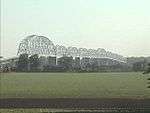
.jpg) |
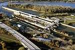
Interstate 24 Bridge | Metropolis and Paducah | 1973 | 37°08′00″N 88°41′13″W | |
| Lock and Dam No. 52 | Brookport and Paducah | ||||
 |
Brookport Bridge | Brookport and Paducah | 1929 | 37°06′50″N 88°37′45″W | |
| Smithland Locks and Dam | Hamletsburg and Smithland | 37.167394°N 88.425519°W | |||
| Lock and Dam No. 51 | Golconda and Joy | ||||
| Elizabethtown Ferry | KY 297 | Elizabethtown and Tolu | |||
| Cave-in-Rock Ferry | Cave-in-Rock and Ferry Shore | ||||
| Lock and Dam No. 50 | Cave-in-Rock and Ferry Shore | ||||
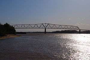 |
Shawneetown Bridge | Old Shawneetown and Spring Grove | 1955 | 37°41′28″N 88°07′53″W |
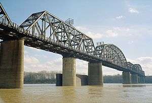
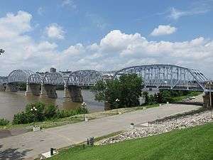
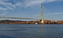
Indiana–Kentucky
.jpg)


_P5250374.jpg)


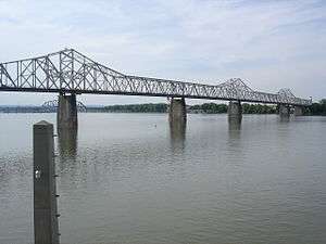
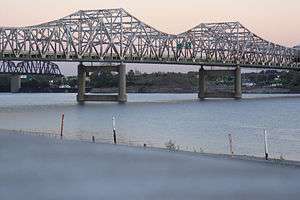
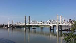


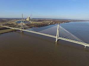
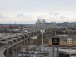
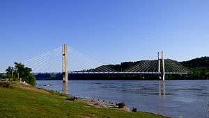
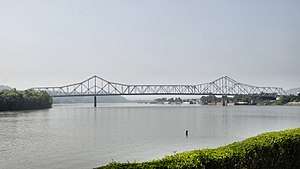
Ohio–Kentucky

.jpg)


.jpg)


.JPG)
Ohio–West Virginia
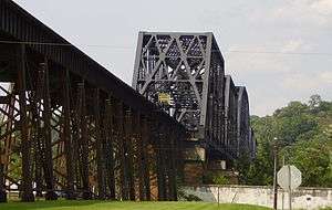


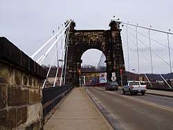
_Wheeling%2C_West_Virginia_LCCN2015632042.tif.jpg)


Pennsylvania
.jpg)


The source of the Ohio River is at the confluence of the Allegheny River and the Monongahela River (40°26′31″N 80°00′50″W) at Pittsburgh, Pennsylvania.
See also
References
- West Virginia Department of Transportation: General Highway Map, Marshall County West Virginia, January 2004.
This article is issued from Wikipedia. The text is licensed under Creative Commons - Attribution - Sharealike. Additional terms may apply for the media files.