Zuver, California
| Zuver | |
|---|---|
| Unincorporated community | |
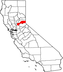
 Zuver Location in California  Zuver Zuver (the US) | |
| Coordinates: 38°58′27″N 120°36′00″W / 38.97417°N 120.60000°WCoordinates: 38°58′27″N 120°36′00″W / 38.97417°N 120.60000°W | |
| Country |
|
| State |
|
| County | Placer County |
| Elevation[1] | 3,921 ft (1,195 m) |
Zuver is an unincorporated community in Placer County, California.[1] Zuver is located 3 miles (4.8 km) west-northwest of Devil Peak.[2] It lies at an elevation of 3921 feet (1195 m).[1]
The Zuver mine is nearby.[2]
References
This article is issued from
Wikipedia.
The text is licensed under Creative Commons - Attribution - Sharealike.
Additional terms may apply for the media files.