Wala (island)
 Wala | |
| Geography | |
|---|---|
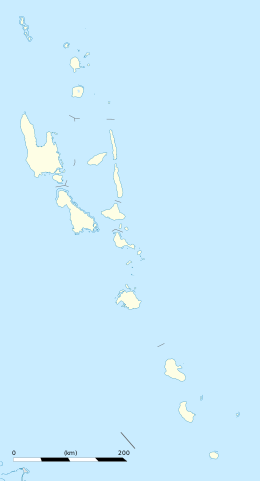
| Location | Pacific Ocean |
| Coordinates | 15°58′23″S 167°22′37″E / 15.973092°S 167.376944°ECoordinates: 15°58′23″S 167°22′37″E / 15.973092°S 167.376944°E |
| Area | 777,979.07 m2 (8,374,097.0 sq ft) |
| Length | 1.24 km (0.771 mi) |
| Width | 915.87 m (3,004.82 ft) |
| Coastline | 3.32 km (2.063 mi) |
| Administration | |
|
Vanuatu | |
| Province | Malampa Province |
| Demographics | |
| Population | 270 (2009)[1] |
| Additional information | |
| Time zone |
|
Wala is an islet off the north-eastern coast of Malakula in Vanuatu. The 1999 census showed a population of 201, which increased in 2009 to 270.[1] Cruise ships anchor off-shore and passengers visit the Wala by the ship's tender.[2]
References
- 1 2 Wala, citypopulation.de
- ↑ Wala, Vanuatu, cruisefactor.co.nz
External links
- Tourists visiting on YouTube, Pacific Sun, 2008

This article is issued from
Wikipedia.
The text is licensed under Creative Commons - Attribution - Sharealike.
Additional terms may apply for the media files.