Rano (island)
 Rano | |
| Geography | |
|---|---|
| Location | Pacific Ocean |
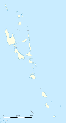
| Coordinates | 15°59′13″S 167°23′34″E / 15.987002°S 167.392730°ECoordinates: 15°59′13″S 167°23′34″E / 15.987002°S 167.392730°E |
| Area | 1.48 km2 (0.57 sq mi) |
| Length | 1.45 km (0.901 mi) |
| Width | 1.30 km (0.808 mi) |
| Coastline | 4.49 km (2.79 mi) |
| Administration | |
| Province | Malampa Province |
| Demographics | |
| Population | 304 (2009) |
| Pop. density | 215.6 /km2 (558.4 /sq mi) |
| Additional information | |
| Time zone |
|
Rano is an islet off the north-eastern coast of Malakula in Vanuatu. The 1999 census showed a population of 273, which increased in 2009 to 304.[1]
References

This article is issued from
Wikipedia.
The text is licensed under Creative Commons - Attribution - Sharealike.
Additional terms may apply for the media files.