Vanala
| Vanala | |
|---|---|
| village | |
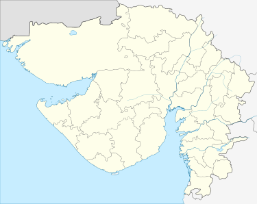
 Vanala Location in Gujarat, India  Vanala Vanala (India) | |
| Coordinates: 22°27′0″N 71°59′0″E / 22.45000°N 71.98333°ECoordinates: 22°27′0″N 71°59′0″E / 22.45000°N 71.98333°E | |
| Country |
|
| State | Gujarat |
| District | Surendranagar |
| Government | |
| • Body | Panchayat |
| Population | |
| • Total | 1,028[1] |
| • Rank | 1100 |
| Languages | |
| • Official | Gujarati, Hindi |
| Time zone | UTC+5:30 (IST) |
| Telephone code | 02753 |
| Vehicle registration | GJ13 |
| Nearest city | Dhandhuka, Limbdi |
| Sex ratio | 52:48 ♂/♀ |
| Civic agency | Panchayat |
| Website |
gujaratindia |
| Princely state |
|---|
| Individual residencies |
| Agencies |
|
| Lists |
Vanala is a village and former Rajput princely state on Saurashtra peninsula in Gujarat state, western India.
History
The nearby archeological site of Rangpur, India dates back to the Harappan culture.
Vanala was a petty princely state in Jhalawar prant, comprising only Vana village, under a Jhala Rajput Chieftain.
During the British Raj, the petty state was under the colonial Eastern Kathiawar Agency.
Village
Vanla lies in Chuda Taluka, Surendranagar district.
It is a tiny village of population of around 1100.
It has good road transport facilities from Limbdi (10 km) and Dhandhuka (21 km).
References
External links and sources
This article is issued from
Wikipedia.
The text is licensed under Creative Commons - Attribution - Sharealike.
Additional terms may apply for the media files.