Renk Airport
| Renk Airport | |||||||||||
|---|---|---|---|---|---|---|---|---|---|---|---|
| Summary | |||||||||||
| Airport type | Public, Civilian | ||||||||||
| Owner | Civil Aviation Authority of South Sudan | ||||||||||
| Serves | Renk, South Sudan | ||||||||||
| Location |
Renk, | ||||||||||
| Elevation AMSL | 925 ft / 282 m | ||||||||||
| Coordinates | 11°54′00″N 32°48′00″E / 11.90000°N 32.80000°E | ||||||||||
| Map | |||||||||||
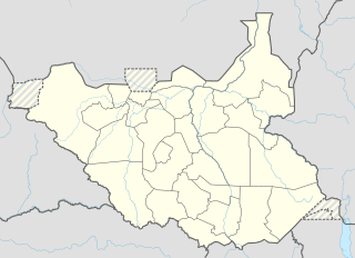 Renk Location of Renk Airport in South Sudan | |||||||||||
| Runways | |||||||||||
| |||||||||||
Renk Airport is an airport serving Renk in South Sudan.
Location
Renk Airport (IATA: n/a, ICAO: HSRN) is located in Renk County in Eastern Nile, in the town of Renk, in the northeastern part of South Sudan. The airport is located southwest of the central business district of the town, and lies between Renk and its southern suburb of Abbeit.
This location lies approximately 776 kilometres (482 mi), by air, north of Juba International Airport, the largest airport in South Sudan.[1] The geographic coordinates of this airport are: Latitude: 11.8300; Longitude: 32.8000. Renk Airport is situated 282 metres (925 ft) above sea level.[2] The airport has a single unpaved runway, the dimensions of which are not publicly known at this time.
Overview
Renk Airport is a small civilian airport that serves the town of Renk and surrounding communities. There are no known scheduled airlines serving this airport at this time.
See also
References
- ↑ "Distance between Renk and Juba (Airport), Sudan". distancecalculator.globefeed.com. Retrieved 2018-08-24.
- ↑ Renk Elevation Is 925 Feet Above Sea Level