Paloich Airport
| Paloich Airport, Heliport | |||||||||||
|---|---|---|---|---|---|---|---|---|---|---|---|
| Summary | |||||||||||
| Airport type | Public, Civilian | ||||||||||
| Owner | Dar Petroleum Operating Company DPOC | ||||||||||
| Operator | DPOC | ||||||||||
| Serves | Palogue oil field, South Sudan | ||||||||||
| Elevation AMSL | 1,270 ft / 385.741 m | ||||||||||
| Coordinates | 10°31′44″N 32°30′04″E / 10.529°N 32.501°ECoordinates: 10°31′44″N 32°30′04″E / 10.529°N 32.501°E | ||||||||||
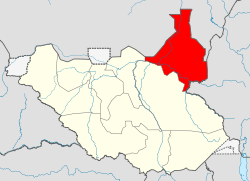
| Map | |||||||||||
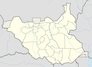 HSFA Location of airport in South Sudan | |||||||||||
| Runways | |||||||||||
| |||||||||||
|
Sources:[1] | |||||||||||
Paloich Airport, Heliport (also Palogue, Palouge[2] Paloug, Paluge) is the airport in Eastern Nile in South Sudan (previously in Upper Nile State) which provides cargo operations for the adjacent Palogue oil field.[3]
Incidents
An Antonov An-12B cargo plane en route to the airport crashed on takeoff due to overloading in the South Sudanese capital of Juba on 4 November 2015.
See also
References
- ↑ "HGI at OurAirports.com". Retrieved 2015-11-04.
- ↑ "HPSIC | projects". 2015-12-01. Retrieved 2018-08-24.
- ↑ "UPDATE 2-South Sudan's Palouge oilfield to reach 180,000 bpd in a month". Reuters. 2013-05-05. Retrieved 2016-08-04.
This article is issued from
Wikipedia.
The text is licensed under Creative Commons - Attribution - Sharealike.
Additional terms may apply for the media files.