Qingbaijiang District
| Qingbaijiang 青白江区 | ||||||||||||||||||||||||||||||||||||||||||||||||||||||||||||
|---|---|---|---|---|---|---|---|---|---|---|---|---|---|---|---|---|---|---|---|---|---|---|---|---|---|---|---|---|---|---|---|---|---|---|---|---|---|---|---|---|---|---|---|---|---|---|---|---|---|---|---|---|---|---|---|---|---|---|---|---|
| District | ||||||||||||||||||||||||||||||||||||||||||||||||||||||||||||
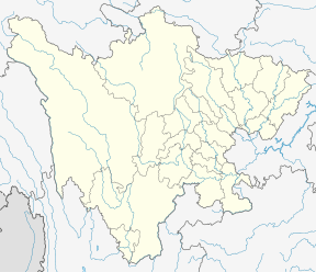 Qingbaijiang Location in Sichuan | ||||||||||||||||||||||||||||||||||||||||||||||||||||||||||||
| Coordinates: 30°52′06″N 104°14′33″E / 30.8684°N 104.2425°ECoordinates: 30°52′06″N 104°14′33″E / 30.8684°N 104.2425°E[1] | ||||||||||||||||||||||||||||||||||||||||||||||||||||||||||||
| Country | People's Republic of China | |||||||||||||||||||||||||||||||||||||||||||||||||||||||||||
| Province | Sichuan | |||||||||||||||||||||||||||||||||||||||||||||||||||||||||||
| Sub-provincial city | Chengdu | |||||||||||||||||||||||||||||||||||||||||||||||||||||||||||
| Area | ||||||||||||||||||||||||||||||||||||||||||||||||||||||||||||
| • Total | 392 km2 (151 sq mi) | |||||||||||||||||||||||||||||||||||||||||||||||||||||||||||
| Population (2010)[2] | ||||||||||||||||||||||||||||||||||||||||||||||||||||||||||||
| • Total | 381,792 | |||||||||||||||||||||||||||||||||||||||||||||||||||||||||||
| • Density | 974/km2 (2,520/sq mi) | |||||||||||||||||||||||||||||||||||||||||||||||||||||||||||
| Time zone | UTC+8 (China Standard) | |||||||||||||||||||||||||||||||||||||||||||||||||||||||||||
| Postal code | 6103XX | |||||||||||||||||||||||||||||||||||||||||||||||||||||||||||
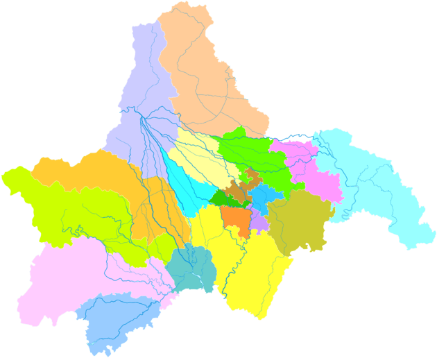
| Chengdu district map |
| |||||||||||||||||||||||||||||||||||||||||||||||||||||||||||
Qingbaijiang District (simplified Chinese: 青白江区; traditional Chinese: 青白江區; pinyin: Qīngbáijiāng Qū; literally: "azure and white river") is one of nine districts of Chengdu, the capital of Sichuan province, China, covering parts of the northeastern suburbs. It borders the prefecture-level city of Deyang to the north.
History
The administrative area of Qingbaijiang District was originally Jintang County and Xindu County (now Xindu District). During the “First Five-Year Plan”, the Chengdu Plain built an industrial zone in Jintang County to solve the problem of “having grain but no steel”. In 1956, the State Planning Commission and the State Construction Commission decided to build the Sichuan Fertilizer Plant (now Chuanhua Group) in Jintang County. In 1958, Chengdu Steel Plant, the predecessor of Pancheng Steel, was also established here. In order to manage the two enterprises, Chengdu has split some towns and towns from Xindu and Jintang. In 1960, Qingbaijiang District was established.
References
- ↑ Google (2014-07-02). "Qingbaijiang" (Map). Google Maps. Google. Retrieved 2014-07-02.
- ↑ 我市2010年第六次全国人口普查数据公报 (in Chinese). Government of Chengdu. 2011-05-13. Archived from the original on September 30, 2011. Retrieved 2011-08-04.