National Register of Historic Places listings in Fairbanks North Star Borough, Alaska
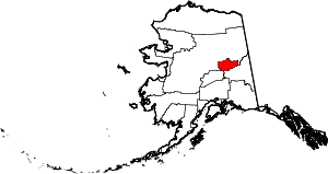
Location of the Fairbanks North Star Borough in Alaska.
This is a list of the National Register of Historic Places listings in Fairbanks North Star Borough, Alaska.
This is intended to be a complete list of the properties and districts on the National Register of Historic Places in Fairbanks North Star Borough, Alaska, United States. The locations of National Register properties and districts for which the latitude and longitude coordinates are included below, may be seen in an online map.[1]
There are 31 properties and districts listed on the National Register in the borough, including 3 National Historic Landmarks.
- This National Park Service list is complete through NPS recent listings posted October 4, 2018.[2]
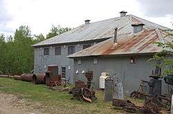
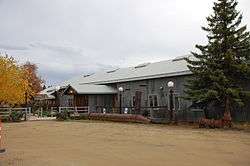
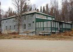
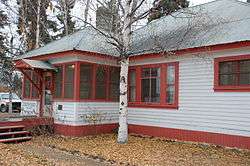
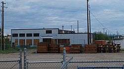
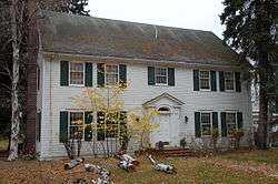
Current listings
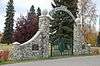
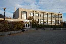
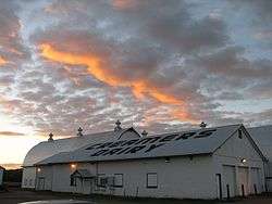
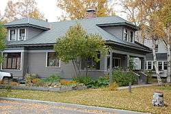
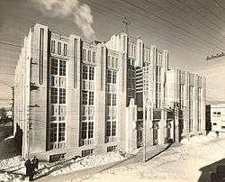
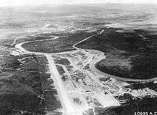
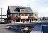
.JPG)
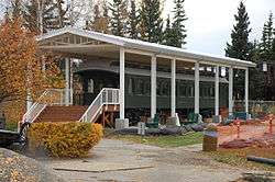
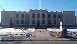
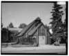
.jpg)
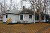
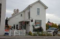
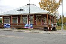
.jpg)
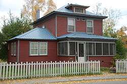
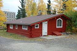
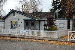
.JPG)
_Fairbanks%2C_Alaska.jpg)
Former listings
| [3] | Name on the Register | Image | Date listed | Date removed | Location | City or town | Summary |
|---|---|---|---|---|---|---|---|
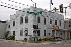
| 1 | Masonic Temple | .jpg) |
June 3, 1980 (#80004568) | August 16, 2018 | 809 First Avenue 64°50′39″N 147°43′36″W / 64.84407°N 147.72666°W |
Fairbanks | Roof collapsed on March 17, 2018, and the remainder was demolished the next day. |
See also
| Wikimedia Commons has media related to National Register of Historic Places in Fairbanks North Star Borough, Alaska. |
References
- ↑ The latitude and longitude information provided in this table was derived originally from the National Register Information System, which has been found to be fairly accurate for about 99% of listings. For about 1% of NRIS original coordinates, experience has shown that one or both coordinates are typos or otherwise extremely far off; some corrections may have been made. A more subtle problem causes many locations to be off by up to 150 yards, depending on location in the country: most NRIS coordinates were derived from tracing out latitude and longitudes from USGS topographical quadrant maps created under the North American Datum of 1927, which differs from the current, highly accurate WGS84 GPS system used by most on-line maps. Chicago is about right, but NRIS longitudes in Washington are higher by about 4.5 seconds, and are lower by about 2.0 seconds in Maine. Latitudes differ by about 1.0 second in Florida. Some locations in this table may have been corrected to current GPS standards.
- ↑ "National Register of Historic Places: Weekly List Actions". National Park Service, United States Department of the Interior. Retrieved on October 4, 2018.
- 1 2 Numbers represent an ordering by significant words. Various colorings, defined here, differentiate National Historic Landmarks and historic districts from other NRHP buildings, structures, sites or objects.
- ↑ National Park Service (2008-04-24). "National Register Information System". National Register of Historic Places. National Park Service.
- ↑ The eight-digit number below each date is the number assigned to each location in the National Register Information System database, which can be viewed by clicking the number.
- ↑ Federal and state laws and practices restrict general public access to information regarding the specific location of this resource. In some cases, this is to protect archeological sites from vandalism, while in other cases it is restricted at the request of the owner. See: Knoerl, John; Miller, Diane; Shrimpton, Rebecca H. (1990), Guidelines for Restricting Information about Historic and Prehistoric Resources, National Register Bulletin (29), National Park Service, U.S. Department of the Interior, OCLC 20706997 .
- ↑ This address, as such, hasn't existed since the 1960s. The building itself has since been demolished. It was located in front of Daily-News Miner building, at the corner of Illinois Street and the prosecution of North Cushman Street
- ↑ US Department of Transportation, Federal Highway Administration and State of Alaska (April 27, 2005). "Illinois Street Reconstruction Project - Environmental Assessment" (PDF). Retrieved May 16, 2017.
- ↑ US Department of Transportation, Federal Highway Administration and Alaska Department of Transportation and Public Facilities (July 31, 1985). "Fairbanks Urban Reconnaissance-Geist Road Extension - Environmental Impact Statement". Retrieved May 16, 2017.
- ↑ "Historic Rose building disappears from corner" was published in the Fairbanks Daily News-Miner on September 13, 1998 on page B1.
- ↑ "NRHP nomination for Rose Building". National Park Service. Retrieved May 17, 2017.
- ↑ "Commission on Historic Preservation - Special Meeting Agenda" (PDF). December 1, 2015. Retrieved May 17, 2017.
| Topics | |
|---|---|
| Lists by states |
|
| Lists by insular areas | |
| Lists by associated states | |
| Other areas | |
| |
 | Boroughs | .svg.png) | |
Census areas | |||
There are no sites listed on the National Register of Historic Places in Kusilvak Census Area. | |||
Municipalities and communities of Fairbanks North Star Borough, Alaska, United States | ||
|---|---|---|
| Cities | | |
| CDPs | ||
| Unincorporated communities | ||
| Ghost town | ||
This article is issued from
Wikipedia.
The text is licensed under Creative Commons - Attribution - Sharealike.
Additional terms may apply for the media files.