Moyuta (volcano)
| Moyota | |
|---|---|
 | |
| Highest point | |
| Elevation | 1,662 m (5,453 ft) |
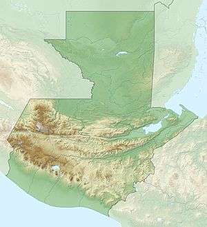
| Coordinates | 14°01′48″N 90°06′00″W / 14.03000°N 90.10000°WCoordinates: 14°01′48″N 90°06′00″W / 14.03000°N 90.10000°W |
| Geography | |
 Moyota | |
| Geology | |
| Mountain type | Stratovolcano |
| Last eruption | Unknown |
Moyuta is a stratovolcano in southern Guatemala. It is located near the town of Moyuta in Santa Rosa Department, and is situated at the southern edge of the Jaltapagua fault. The volcano has an elevation of 1662 m and its summit is formed by three andesitic lava domes. The slopes of the volcano complex have numerous cinder cones. Small fumaroles can be seen on the northern and southern slopes, and hot springs are found at the north-eastern base of the volcano, as well as along rivers on south-eastern side. The volcano is covered with forest and coffee plantations.
See also
References
| Guatemala | 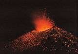 | |
|---|---|---|
| El Salvador | ||
| Nicaragua | ||
| Costa Rica | ||
| Panama | ||
Note: volcanoes are ordered from north-west to south-east. | ||
This article is issued from
Wikipedia.
The text is licensed under Creative Commons - Attribution - Sharealike.
Additional terms may apply for the media files.