Mount Kaputjugh
| Kaputjugh | |
|---|---|
 Kaputjugh | |
| Highest point | |
| Elevation | 3,905 m (12,812 ft) |
| Prominence | 1,820 m (5,970 ft) [1] |
| Listing | Ultra |
| Coordinates | 39°09′33″N 46°00′21″E / 39.15917°N 46.00583°ECoordinates: 39°09′33″N 46°00′21″E / 39.15917°N 46.00583°E [1] |
| Geography | |
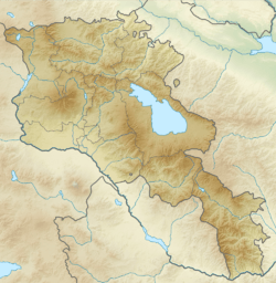 Kaputjugh Location in Armenia (on the border with Azerbaijan) | |
| Location | Armenia–Azerbaijan (Nakhchivan) border |
| Parent range | Armenian Highlands |
Kaputjugh (Armenian: Կապուտջուղ, translit: Kaputjuł, trans: "blue branch"; Azerbaijani: Qapıcıq, trans.: small door, entrance) is a mountain in the Caucasus. It has an elevation of 3,905 metres (12,812 ft) and is on the international border between Armenia and Nakhchivan Autonomous Republic, an exclave of Azerbaijan.
References
- 1 2 "European Russian and Caucasian States: Ultra-Prominence Page" Peaklist.org. Retrieved 2012-02-18.
Sources
- "Kapudzhukh Lerr, Armenia/Azerbaijan". Peakbagger.com.
- "RA SYUNIK MARZ" (PDF). Marzes of the Republic of Armenia in Figures, 2002-2006. National Statistical Service of Armenia. Retrieved 14 July 2011.
This article is issued from
Wikipedia.
The text is licensed under Creative Commons - Attribution - Sharealike.
Additional terms may apply for the media files.