Marondera
| Marondera | ||
|---|---|---|
| City | ||
| ||
Motto(s):
| ||
 Marondera | ||
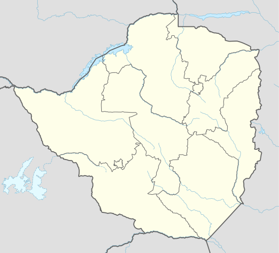
| Coordinates: 18°11′23″S 31°32′48″E / 18.18972°S 31.54667°ECoordinates: 18°11′23″S 31°32′48″E / 18.18972°S 31.54667°E | ||
| Country |
| |
| Province | Mashonaland East | |
| District | Marondera | |
| Village | 1913 | |
| Town | 1943 | |
| City | 1982 | |
| Government | ||
| Elevation | 1,688 m (5,538 ft) | |
| Population (2013) | ||
| • Total | 68,017 | |
| Time zone | UTC+2 (CAT) | |
| Climate | Cwb | |
| Website | www.maronderardc.org.zw | |

Marondera (known as Marandellas until 1982) is a city in Mashonaland East, Zimbabwe, located about 72 km east of Harare.
History
It originated in 1890 as a rest house on the road from Salisbury (now Harare) to Umtali (now Mutare). It was first known as Marandella's Kraal, corrupted from Marondera, chief of the ruling VaRozvi people. This was later contracted to Marandellas. Later destroyed in the Shona resistance of 1896, the town was moved 4 miles (6 km) north to the Salisbury-Beira railway line.
Constituted a village in 1913, it became a town in 1943. During the South African (Boer) War it was used by the British as a staging point for military operations into the Transvaal, and in World War II it was a refuge for displaced Poles.
Demographics
The indigenous population is mostly Shona.
Education
Marondera is home to many schools and colleges:
Climate
| Climate data for Marondera (1961–1990) | |||||||||||||
|---|---|---|---|---|---|---|---|---|---|---|---|---|---|
| Month | Jan | Feb | Mar | Apr | May | Jun | Jul | Aug | Sep | Oct | Nov | Dec | Year |
| Average high °C (°F) | 24.8 (76.6) |
24.2 (75.6) |
24.2 (75.6) |
22.9 (73.2) |
21.5 (70.7) |
19.3 (66.7) |
19.2 (66.6) |
22.0 (71.6) |
25.5 (77.9) |
26.0 (78.8) |
25.8 (78.4) |
24.3 (75.7) |
23.3 (73.9) |
| Average low °C (°F) | 14.8 (58.6) |
14.7 (58.5) |
13.8 (56.8) |
11.5 (52.7) |
8.9 (48) |
6.1 (43) |
5.9 (42.6) |
7.3 (45.1) |
10.5 (50.9) |
12.5 (54.5) |
13.8 (56.8) |
14.5 (58.1) |
11.2 (52.2) |
| Average rainfall mm (inches) | 193.4 (7.614) |
149.1 (5.87) |
90.3 (3.555) |
48.7 (1.917) |
10.1 (0.398) |
5.4 (0.213) |
3.0 (0.118) |
3.0 (0.118) |
6.8 (0.268) |
40.3 (1.587) |
113.1 (4.453) |
187.7 (7.39) |
850.9 (33.5) |
| Average rainy days | 14 | 12 | 9 | 5 | 2 | 1 | 1 | 1 | 1 | 5 | 10 | 15 | 76 |
| Source: World Meteorological Organization[1] | |||||||||||||
References
- ↑ "World Weather Information Service – Marondera". World Meteorological Organization. Retrieved 13 May 2016.
| Authority control |
|---|