Mariveles Reef
| Disputed island Other names: Nanhai Jiao 南海礁; Terumbu Mantanani; Mariveles; Đá Kỳ Vân | |
|---|---|
 Satellite image of Mariveles Reef by NASA. | |
| Geography | |
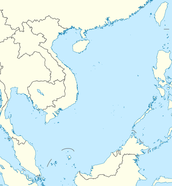 | |
| Location | South China Sea |
| Coordinates | 7°59′38″N 113°53′42″E / 7.99389°N 113.89500°ECoordinates: 7°59′38″N 113°53′42″E / 7.99389°N 113.89500°E |
| Archipelago | Spratly Islands |
| Administered by | |
| Malaysia | |
| State | Sabah |
| Claimed by | |
| People's Republic of China | |
| City | Sansha, Hainan |
| Philippines | |
| Municipality | Kalayaan, Palawan |
| Republic of China (Taiwan) | |
| Municipality | Cijin District, Kaohsiung |
| Vietnam | |
| District | Trường Sa District, Khánh Hòa |
Mariveles Reef, known as Nanhai Jiao (Chinese: 南海礁) in China, Terumbu Mantanani in Malaysia, đá Kỳ Vân in Vietnam and Mariveles in the Philippines, is located in the SW of Dangerous Ground in the Spratly Islands.[1] It is 59 kilometres (37 mi) slightly east of north from Swallow Reef and 35 nautical miles (65 km; 40 mi) southeast of Barque Canada Reef.[2]
It dries at high tide enclosing two large lagoons in a figure of eight formation with a sand cay between them. This small cay, 1.5–2 m high, and some isolated rocks are just visible at high water.
The Royal Malaysian Navy has maintained an "offshore naval station" there called "Station Mike" since 1986.[3]
References
- ↑ http://www.oceangrafix.com/chart/zoom?chart=93047 SW Dangerous Ground
- ↑ D. J. Hancox; Victor Prescott. A Geographical Description of the Spratly Islands and an Account of Hydrographic Surveys Amongst Those Islands.
- ↑ Joshua Ho; Sam Bateman (15 February 2013). Maritime Challenges and Priorities in Asia: Implications for Regional Security. Routledge. pp. 74–. ISBN 978-1-136-29820-2.
| Bays | |
|---|---|
| Capes | |
| Rivers |
|
| Mountains & mountain ranges | |
| Peninsula |
|
| Waterfalls | |
| Valleys | |
| Caves | |
| Volcanic fields | |
| Islands |
|
| Related articles | |||||||||||
|---|---|---|---|---|---|---|---|---|---|---|---|
| Confrontations | |||||||||||
| Regions | |||||||||||
| Occupied features | |||||||||||
| Unoccupied features | |||||||||||
| Pratas Islands | |||||||||||||||||
|---|---|---|---|---|---|---|---|---|---|---|---|---|---|---|---|---|---|
| Paracel Islands |
| ||||||||||||||||
| NorthEast SCS | |||||||||||||||||
| Spratly Islands |
| ||||||||||||||||
| Southern SCS | |||||||||||||||||
| Tudjuh Archipelago | |||||||||||||||||
| History | |||||||||||||||||
| Transport |
| ||||||||||||||||
| |||||||||||||||||
This article is issued from
Wikipedia.
The text is licensed under Creative Commons - Attribution - Sharealike.
Additional terms may apply for the media files.