Northeast Investigator Shoal
- Not to be confused with the Investigator Shoal off Sabah which is occupied by Malaysia, or Northwest Investigator Reef, a.k.a. Fiery Cross Reef
| Disputed island Other names: Investigator Northeast Shoal Dalagang Bukid Shoal Haikou Jiao 海口礁 | |
|---|---|
| Geography | |
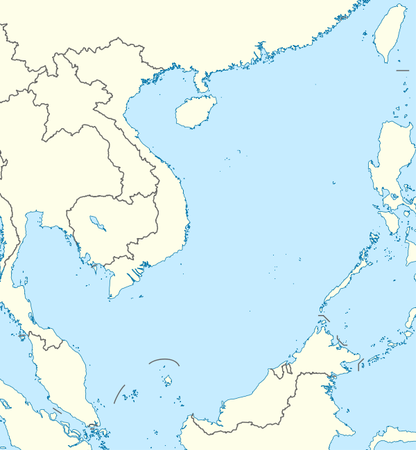 | |
| Location | South China Sea |
| Coordinates | 9°10′N 116°28′E / 9.167°N 116.467°ECoordinates: 9°10′N 116°28′E / 9.167°N 116.467°E |
| Archipelago | Spratly Islands |
| Administered by | |
| Philippines | |
| Municipality | Kalayaan, Palawan |
| Claimed by | |
| People's Republic of China | |
| Philippines | |
Northeast Investigator Shoal (Chinese: 海口礁; pinyin: Haikou Jiao ; Tagalog: Dalagang Bukid Shoal), also marked as Investigator Northeast shoal on some nautical charts, is a shoal in the Spratly group of islands in South China sea.[1][2]
The submerged coral atoll is located 32 nautical miles from Bombay Shoal at 9° 10' N, 116° 28' E. A small feature with an area of just 2 square kilometres, the shoal has a few rocks at the western edge that are just about visible at high water.[3]
References
- ↑ Wu, Shucun (30 September 2013). Solving disputes for regional cooperation in South China Sea. Oxford: Elsevier / Chandos Publishing.
|access-date=requires|url=(help) - ↑ "NGA Chart 93046 - Mantangule Island to Eran Bay (Palawan Passage)". nauticalchartsonline.com. NGA, USA. Retrieved 2 September 2016.
- ↑ hancox, D.J. A geographical description of Spratly islands (Volume 1 Number 6 ed.). Durham, UK: InBRU - International Boundaries Research Unit.
|access-date=requires|url=(help)
| Related articles | |||||||||||
|---|---|---|---|---|---|---|---|---|---|---|---|
| Confrontations | |||||||||||
| Regions | |||||||||||
| Occupied features | |||||||||||
| Unoccupied features | |||||||||||
| Pratas Islands | |||||||||||||||||
|---|---|---|---|---|---|---|---|---|---|---|---|---|---|---|---|---|---|
| Paracel Islands |
| ||||||||||||||||
| NorthEast SCS | |||||||||||||||||
| Spratly Islands |
| ||||||||||||||||
| Southern SCS | |||||||||||||||||
| Tudjuh Archipelago | |||||||||||||||||
| History | |||||||||||||||||
| Transport |
| ||||||||||||||||
| |||||||||||||||||
This article is issued from
Wikipedia.
The text is licensed under Creative Commons - Attribution - Sharealike.
Additional terms may apply for the media files.