Lankiam Cay
| Disputed island | |
|---|---|
| Geography | |
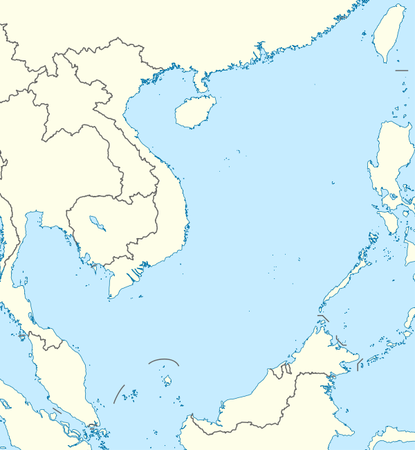 | |
| Location | South China Sea |
| Coordinates | 11°03′N 114°17′E / 11.050°N 114.283°ECoordinates: 11°03′N 114°17′E / 11.050°N 114.283°E |
| Archipelago | Spratly Islands |
| Administered by | |
| Philippines | |
| Municipality | Kalayaan, Palawan |
| Claimed by | |
| People's Republic of China | |
| Philippines | |
| Republic of China (Taiwan) | |
| Vietnam | |
Lankiam Cay 10°43′N 114°32′E / 10.717°N 114.533°E (Tagalog: Panata, literally "oath"; Chinese: 杨信沙洲; pinyin: Yangxin Shazhou; Vietnamese: đá An Nhơn) is the smallest of the naturally occurring Spratly Islands. It has an area of 0.44 hectares (1.1 acres) (4,400 sq. m), and is located about 7 nautical miles (13 km; 8.1 mi) east-northeast of Philippine-occupied Loaita (Kota) Island,[1] just west of the north of Dangerous Ground.[2]
The island is administered by the Philippines as part of Kalayaan, Palawan, and is the seventh largest of the Philippine-occupied islands. It is also claimed by the People's Republic of China, the Republic of China (Taiwan), and Vietnam.
Environment
At one time the island had a surface area of more than 5 hectares, but strong waves brought by a strong typhoon washed out the sandy surface (beach) of the island leaving behind the calcarenite foundation that can be seen at low tide. It has a wide lagoon.
Philippine occupation
The island is guarded by soldiers stationed at nearby Loaita Island who regularly visit. It is kept under observation from a tall structure on Loaita Island.
See also
References
- ↑ US NGA (15 Nov 2014). "Pub. 161, Sailing Directions (Enroute) South China Sea and the Gulf of Thailand, Fifteenth Edition, 2014" (PDF). msi.nga.mil. p. 9, (Section 1.24).
- ↑ NGA Chart 93044 shows the area NW of Dangerous Ground.
External links
| Related articles | |||||||||||
|---|---|---|---|---|---|---|---|---|---|---|---|
| Confrontations | |||||||||||
| Regions | |||||||||||
| Occupied features | |||||||||||
| Unoccupied features | |||||||||||
| Pratas Islands | |||||||||||||||||
|---|---|---|---|---|---|---|---|---|---|---|---|---|---|---|---|---|---|
| Paracel Islands |
| ||||||||||||||||
| NorthEast SCS | |||||||||||||||||
| Spratly Islands |
| ||||||||||||||||
| Southern SCS | |||||||||||||||||
| Tudjuh Archipelago | |||||||||||||||||
| History | |||||||||||||||||
| Transport |
| ||||||||||||||||
| |||||||||||||||||