Maha Oya
| Maha Oya | |
|---|---|
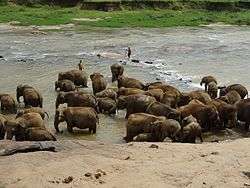 Maha Oya passes Pinnawala elephant orphanage area | |
 | |
| Physical characteristics | |
| Main source | Nawalapitiya, Aranayake |
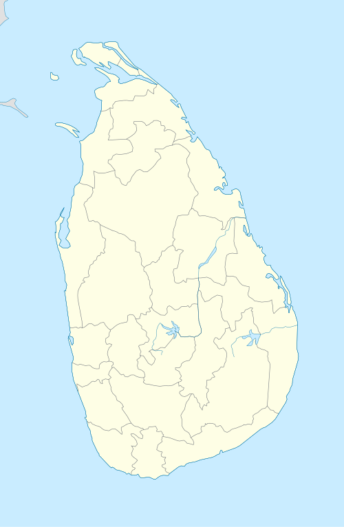
| River mouth |
Kochchikade, Negombo Sea level 07°16′21″N 79°50′34″E / 7.27250°N 79.84278°ECoordinates: 07°16′21″N 79°50′34″E / 7.27250°N 79.84278°E |
| Length | 134 km (83 mi) |
The Maha Oya is a major stream in the Sabaragamuwa Province of Sri Lanka. It measures approximately 134 km (83 mi) in length.[1] It runs across four provinces and five districts. Maha Oya has 14 Water supply networks to serve the need of water and more than 1 million people live by the river.[2]
Its catchment area receives approximately 3644 million cubic metres of rain per year, and approximately 34 percent of the water reaches the sea. It has a catchment area of 1,510 square kilometres.[3]
See also
References
- ↑ Yassin Mohammed, Essam (2013). Economic Incentives for Marine and Coastal Conservation: Prospects, Challenges and Policy Implications. Routledge. p. 296. ISBN 978-1-135-00663-1.
- ↑ "Maha Oya Sand Mining To Affect Millions". Retrieved 17 October 2016.
- ↑ "Sri Lanka: Rivers". FAO. Retrieved 12 October 2016.
This article is issued from
Wikipedia.
The text is licensed under Creative Commons - Attribution - Sharealike.
Additional terms may apply for the media files.