Magherafelt
| Magherafelt | |
|---|---|
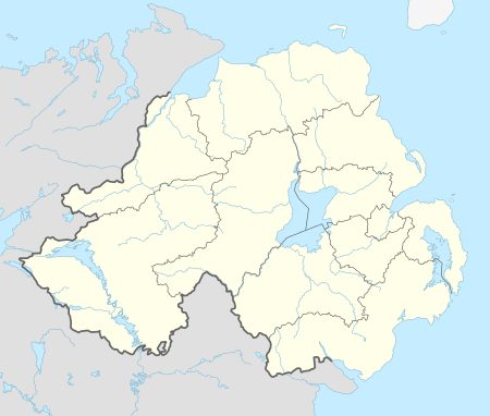 Magherafelt shown within Northern Ireland | |
| Population | 8,372 (2001 Census) |
| • Belfast | 35 mi (56 km) |
| District | |
| County | |
| Country | Northern Ireland |
| Sovereign state | United Kingdom |
| Post town | MAGHERAFELT |
| Postcode district | BT45 |
| Dialling code | 028 |
| Police | Northern Ireland |
| Fire | Northern Ireland |
| Ambulance | Northern Ireland |
| EU Parliament | Northern Ireland |
| UK Parliament | |
| NI Assembly | |
Magherafelt (from Irish: Machaire Fíolta, meaning "plain of Fíolta")[2] is a small town and civil parish in County Londonderry, Northern Ireland. It had a population of 8,372 at the 2001 Census. It is the biggest town in the south of the county and is the social, economic and political hub of the area. It is part of Mid-Ulster District.
History
Magherafelt has been documented as a town since 1425. Following the Plantation of Ulster, a central diamond has formed the heart of the town. During The Troubles in the late 20th century, 11 people were killed in or near Magherafelt in connection with the troubles.
Transport
Magherafelt railway station opened on 10 November 1856, shut for passenger traffic on 28 August 1950 and shut altogether on 1 October 1959.[3]
Schools
Primary Schools:
- Holy Family Primary School
- Kilronan Special School
- Gaelscoil an tSeanchaí
- Naíscoil an tSeanchaí
- Magherafelt Controlled Primary School
- Magherafelt Primary
- Integrated Primary School
Secondary Schools:
- St. Mary's Grammar School
- Saint Pius X College
- Rainey Endowed School
- Sperrin Integrated College
- Magherafelt High School
Sport
Magherafelt has several sporting teams, including Magherafelt Reds, O'Donovan Rossa Magherafelt GAC, the Rainey Old Boys Rugby Club and Magherafelt Sky Blues F.C.. There is also the Mid Ulster Athletic Club,Spires CC Cycling Club. the Mid Ulster Swimming Club and the Magherafelt District Motorclub.[4]
2001 Census
Magherafelt is classified as a small town by the Northern Ireland Statistics and Research Agency (NISRA) (i.e. with population between 4,500 and 10,000 people). On Census day (29 April 2001) there were 8,372 people living in Magherafelt. Of these:
- 27.1% were aged under 16 years and 13.7% were aged 60 and over
- 48.7% of the population were male and 51.3% were female
- 56.2% were from a Catholic background and 41.8% were from a Protestant background
- 3.4% of people aged 16–74 were unemployed.
For more details see: NI Neighbourhood Information Service
2011 Census
On Census day in 2011:
- 59.7% were from a Catholic background and 35.7% were from a Protestant background
People
- Joseph Burns – an Ulster Unionist member of the Parliament of Northern Ireland from 1960 – 1973
- Paul Charles – novelist, music promoter and talent agent
- Peter Doherty – former footballer and manager of Northern Ireland[5]
- Richard Ferguson – barrister and politician
- General Fiasco – indie rock band
- Barry Gillis – current Derry Gaelic footballer
- Monsignor Laurence Higgins – former Vicar General of the Diocese of St. Petersburg and founder of St. Lawrence Catholic Parish in Tampa, Florida
- Harry Gregg – former Manchester United and Northern Ireland goalkeeper
- Robert Hagan, naval officer and abolitionist
- Aaron Hughes – current professional Association Footballer
- Willie McCrea – politician and a member of the Democratic Unionist Party
- Terry McFlynn – a current football player for Sydney FC and former Northern Ireland Under 21 player
- Mickey Niblock – former Derry Gaelic footballer
- Laura Pyper – actress (Hex, Reign of Fire and Headrush)
- Dean Shiels – professional association football player
- Kenny Shiels – current manager of Derry City
- Sir James Starritt, KCVO – Deputy Commissioner of Police of the Metropolis from 1972–75
See also
References
- ↑ The Online Scots Dictionary Retrieved 11 June 2012.
- ↑ Placenames Database of Ireland
- ↑ "Magherafelt station" (PDF). Railscot – Irish Railways. Retrieved 3 November 2007.
- ↑ http://www.magherafeltmotorclub.co.uk/
- ↑ Peter Doherty Archived 13 January 2013 at Archive.is
| Wikimedia Commons has media related to Magherafelt. |
External links

| Large |  | |
|---|---|---|
| Medium | ||
| Small | ||
Italics denote settlements that are classed as towns but also have city status | ||