Macosquin
Macosquin
| |
|---|---|
 St Mary's Church of Ireland | |
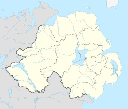 Macosquin Macosquin shown within Northern Ireland | |
| Population | 600 |
| Irish grid reference | C824287 |
| • Belfast | 57 mi (92 km) |
| District | |
| County | |
| Country | Northern Ireland |
| Sovereign state | United Kingdom |
| Post town | COLERAINE |
| Postcode district | BT51 |
| Dialling code | 028 |
| EU Parliament | Northern Ireland |
| UK Parliament | |
| NI Assembly | |
Macosquin (from Irish: Maigh Choscáin, meaning "Coscan's plain")[1][2] is a small village, townland, and civil parish in County Londonderry, Northern Ireland. It is 4 kilometres (2.5 mi) south-west of Coleraine, on the road to Limavady. In the 2011 Census it had a population of 614 people. The area is known for its underground caves and springs.[3] It is situated within Causeway Coast and Glens district.
History
The origins of Macosquin date from a 6th-century monastic settlement and the village was home to a Cistercian Abbey in the 12th century. Features remain from its later growth as a Plantation village laid out at the beginning of the 17th century by The Merchant Taylors. Earlier spellings of the village's name are Moycosquin and Moycoscain.
Following fast growth in the 1950s and 1960s the village had a peak population of over 800 in the 1970s, but this has shrunk to a 2011 population of 614.
Churches
Religious buildings in Macosquin:
- St. Mary's Church of Ireland Parish Church
- Macosquin Presbyterian Church
- Our Lady of the Assumption RC Church
- Crossgar Presbyterian Church
- Dromore Presbyterian Church
- St Mary’s RC Church
2001 Census
Macosquin is classified as a small village or hamlet by the NI Statistics and Research Agency (NISRA) (i.e. with population between 500 and 1,000 people). On Census day 2011 there were 614 people living in Macosquin. Of these:
- 36.97% were aged under 16 years and 18.89% were aged 60 and over
- 48.53% of the population were male and 51.46% were female
- 3.09% were from a Catholic background, 82.57% were from a Protestant background, and 9.6% considered themselves as having ‘no religion’
- 2.93% of people aged 16–74 were unemployed
For more details see: NI Neighbourhood Information
See also
References
- ↑ Placenames NI Archived 2012-03-17 at the Wayback Machine.
- ↑ Placenames Database of Ireland
- ↑ "Portrush Whiterocks Beach - DAYoutWITHtheKIDS.co.uk - family things to do with kids in Portrush". www.dayoutwiththekids.co.uk. Retrieved 2016-02-06.
