Draperstown
| Draperstown | |
|---|---|
 St Columba's Church of Ireland | |
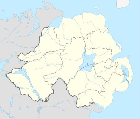
 Draperstown shown within Northern Ireland | |
| Population | 1,772 (2011 Census) |
| District | |
| County | |
| Country | Northern Ireland |
| Sovereign state | United Kingdom |
| Postcode district | BT |
| Dialling code | 028 |
| EU Parliament | Northern Ireland |
| NI Assembly | |
Draperstown (/ˌdrɛpərzˈtaʊn,
Name
Draperstown had its name bestowed upon it in 1818 by the Worshipful Company of Drapers, which had previously named Moneymore as Draperstown.[4]
Prior to this however the settlement was originally known as "Borbury" (from Irish: Bóthar Buí, meaning "yellow road").[2][4] It was then recorded as being called the "Cross" in 1813 and "Moyheelan" in 1821.[4]
Despite the name given to it by the Drapers' company, locals continued to commonly refer to the settlement with a variety of names:
- the Cross, in reference to the crossroads where the market was held,[4]
- Moyheelan, after the townland of Moyheeland (from Irish: Maigh Chaoláin, meaning "plain of the marshy stream"), which it was founded in,[4]
- the Cross of Ballynascreen, after the fact that it was the main crossroads in the parish of Ballynascreen,[4]
- Ballinascreen (from Irish: Baile na Scrine, meaning "the land/territory of the shrine""),[2][4] after the Roman Catholic parish.
- Draperstown-cross,[4] after the crossroads that were the main feature of the settlement
- Ballynacross, of which the Irish form Baile na Croise, meaning "townland of the crossroad", is used as the present Irish name for Draperstown.[2]
The term "screen" in the popular Irish song The Verdant Braes of Screen apparently refers to Ballinascreen.
Local landmarks
The following are local listed buildings or special conservation areas:
- St. Columba's Church, Church of Ireland, Tobermore Road, built 1888
- Courthouse, 20 High Street, built 1839
- Presbyterian Meeting House, 47 High Street, built 1843
- The core of the village was designated a Conservation Area in 1979.
Demography
Draperstown is classified as a village by the NI Statistics and Research Agency (NISRA) (i.e. with population between 1,000 and 2,250 people). On Census day (29 April 2001) there were 1,638 people living in Draperstown.[5] Of these:
- 24.4% were aged under 16 and 15.0% were aged 60 and over
- 48.9% of the population were male and 51.1% were female
- 96.7% were from a Catholic background and 2.8% were from a Protestant background
- 4.3% of people aged 16–74 were unemployed.
For more details see: NI Neighbourhood Information Service
Notable people
- Christina McKenna, writer
Events
The annual Glasgowbury Festival is held near Draperstown. Local bands, as well as some more famous names appear. The last event was held on Saturday, 21 July 2012. However Glasgowbury is not on anymore. Sperrins Balloon Festival also is held in Draperstown every year, with hot air balloon enthusiasts gathering in Draperstown. Weekly live music gigs take place in The Cellar Bar.
Transport
Draperstown railway station opened on 20 July 1883, closed for passenger traffic on 1 October 1930 and finally closed altogether on 3 July 1950.[6] The Draperstown branch ran from Magherafelt with an intermediate station at Desertmartin.
Education
- Naíscoil na Speiríní, an Irish language medium pre-school, in which all subjects are taught in Irish.
- Gaelscoil na Speiríní, an Irish language medium primary school, in which all subjects are taught in Irish.
- St Mary's Primary School
- St Colm's High School
Sport
- St Colms's GAC Ballinascreen (CLG Naomh Colm Baile na Scrine) is the local Gaelic Athletic Association (GAA) club. The club provides teams in Gaelic football, hurling, ladies football and camogie. Dean McGlinchey Park is the club's ground. St Colm's camogie team has won an All-Ireland Championship.
- Draperstown Celtic FC is the local soccer team who play at Cahore playing fields.
See also
| Wikimedia Commons has media related to Draperstown. |
References
- ↑ "Gaun forrit". Special EU Programmes Body. Retrieved 5 April 2017.
- 1 2 3 4 The Placenames Branch (Department of Community, Equality and Gaeltacht Affairs)
- ↑ Toner, Gregory. Place-Names of Northern Ireland, p. 85. Queen's University of Belfast, 1996; ISBN 0-85389-613-5
- 1 2 3 4 5 6 7 8 Toner, Gregory; Place-Names of Northern Ireland, Volume Five, County Derry I, The Moyola Valley, 1996. ISBN 0-85389-613-5
- ↑ Ward Information for Draperstown at NINIS Website
- ↑ "Draperstown station" (PDF). Railscot - Irish Railways. Retrieved 2007-10-12.
