Limehouse Conservation Area
| Limehouse Conservation Area | |
|---|---|
 The Hole in the Wall. | |
 Location within Ontario | |
| Location | Ontario, Canada |
| Nearest city | Limehouse |
| Coordinates | 43°38′05″N 79°58′14″W / 43.63477°N 79.9705°WCoordinates: 43°38′05″N 79°58′14″W / 43.63477°N 79.9705°W[1] |
| Area | 190 acres (77 ha) |
| Governing body | Credit Valley Conservation |
|
www | |
Limehouse Conservation Area is located on the Niagara Escarpment near Limehouse, Ontario and is owned and operated by Credit Valley Conservation. It is within the watershed of the Credit River, being bisected by its tributary, the Black Creek. Redside dace, a provincially threatened species of fish,[2] is found there.[3] The area is known for a system of deep rock fissures and crevices, some of which are accessible from a trail via ladders at the location known as the "Hole in the Wall".[3] Remains of the 19th century lime kilns can be found in the area, making it a site of the regional cultural heritage.
References
- ↑ Limehouse Conservation Area Trail Map Credit Valley Conservation
- ↑ "Redside Dace". Royal Ontario Museum. Retrieved 2008-01-29.
- 1 2 "Limehouse Trails". haltonhikes.ca. Archived from the original on 2013-01-15. Retrieved 2008-01-29.
External links
| National parks | 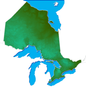 | |
|---|---|---|
| Provincial parks | ||
| Conservation areas | ||
| UNESCO Biosphere Reserves | ||
| National Historic Sites | ||
| Other areas | ||
| Former parks | ||
| ||
This article is issued from
Wikipedia.
The text is licensed under Creative Commons - Attribution - Sharealike.
Additional terms may apply for the media files.