Kebri Dahar
| Kebridahar Qabridahar | |
|---|---|
| City | |
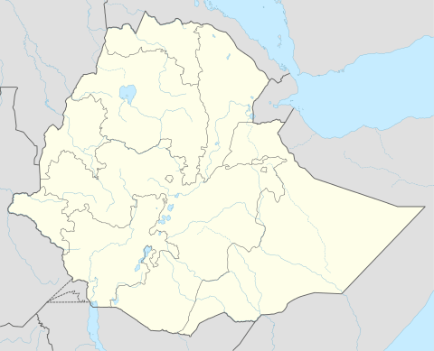 Kebridahar Location within Ethiopia | |
| Coordinates: 6°44′N 44°16′E / 6.733°N 44.267°E | |
| Country | Ethiopia |
| Region | Somali |
| Zone | Kabri dahar |
| Elevation | 1,609 m (5,279 ft) |
| Population (2017) | |
| • Total | 1,302,191 |
| Time zone | UTC+3 (EAT) |
Kebri Dahar (Somali: Qabridahare) is a city in the eastern part of Ethiopia known as the Ogaden. Located in the Korahe Zone of the Somali Region, this town has a latitude and longitude of 6°44′N 44°16′E / 6.733°N 44.267°ECoordinates: 6°44′N 44°16′E / 6.733°N 44.267°E and an elevation of 493 meters above sea level. Kebri Dahar is served by Kabri Dar Airport (ICAO code HAKD, IATA: ABK). Also there,s
Also there is a Kabridahar University, Kebredahar Health-science college, Kebredahar teacher Training college, Kebredahar polytechnic college, and many other institutions like Hospitals.
History
The earliest mention of Kebri Dahar is in 1931, when it was described as "a soldier's camp" that suffered from malaria; although the settlement was 500 meters above the river, the scrub between the two had not been cleared and provided the mosquitoes sufficient cover to reach their victims.[1] According to Margery Perham, prior to the Italo-Abyssinian War, the Italians established a garrison at Kebri Dahar.[2]
A hospital for the town was under construction in 1958, when Emperor Haile Selassie inspected it during a tour of the Ogaden. In 1966 a road was built connecting Kebri Dahar and the new town of Gode.[1] The Ethiopian Road Authority announced a construction project to connect Kebri Dahar with neighboring towns. One road, to include 113.5 kilometers of paved road and five bridges will connect Kebri Dahar with Shekosh, while a second, which will include the creation of 95 kilometers of paved road and construction of six large and medium bridges, will connect the town to Danan.[3]
During the Ogaden War, Kebri Dahar was defended by the Ethiopian Ninth Brigade against the Somali Army before abandoning it in disarray and Somali army capturing it thereafter.[4] It was recaptured by the Ethiopian Third Paracommando Brigade 8 March 1980.[5]
Demographics
Based on figures from the Central Statistical Agency in 2005, Kebri Dahar has an estimated total population of 100,191 of whom 51,327 are men and 48,864 are women.[6] The 1997 census reported this town had a total population of 24,263 of whom 12,768 were men and 11,495 women. The two largest ethnic groups reported in this town were the Somali (89.02%), and the Amhara (2.58%); all other ethnic groups made up 8.4% of the population.[7] It is the largest settlement in Kebri Dahar woreda.
Notes
- 1 2 Kebri Dahar also means the "land of castles" because it was known for its unique buildings and entrepreneurial leadership that connected the eastern through western merchandises."Local History in Ethiopia" The Nordic Africa Institute website (accessed 21 November 2007)
- ↑ Perham, The Government of Ethiopia, second edition (London: Faber and Faber, 1969), p. 338
- ↑ "ERA building asphalt roads with 600mln birr in Somali State" Archived 2007-12-03 at the Wayback Machine. (Walta Information Center, accessed 13 December 2007)
- ↑ Gebru Tareke, "The Ethiopia-Somalia War of 1977 Revisited Archived 2013-12-07 at the Wayback Machine.", International Journal of African Historical Studies, 2000 (33, #3), pp. 635ff at p. 644. (accessed 13 May 2009)
- ↑ Gebru Tareke, "The Ethiopia-Somalia War", p. 660.
- ↑ CSA 2005 National Statistics Archived 2006-11-23 at the Wayback Machine., Table B.4
- ↑ 1994 Population and Housing Census of Ethiopia: Results for Somali Region, Vol. 1 Archived 2008-11-19 at the Wayback Machine. Tables 2.4, 2.14 (accessed 10 January 2009). The results of the 1994 census in the Somali Region were not satisfactory, so the census was repeated in 1997.