Iraí
| Iraí | |||
|---|---|---|---|
 Native copper from Iraí | |||
| |||
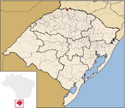 Location in Rio Grande do Sul State | |||
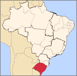
 Iraí Location in Brazil | |||
| Coordinates: 27°11′31.5″S 53°15′15.6″W / 27.192083°S 53.254333°WCoordinates: 27°11′31.5″S 53°15′15.6″W / 27.192083°S 53.254333°W | |||
| Country | Brazil | ||
| Region | South | ||
| State | State of Rio Grande do Sul | ||
| Founded | September 1, 1933 | ||
| Area | |||
| • Total | 181 km2 (70 sq mi) | ||
| Elevation | 123 m (404 ft) | ||
| Population (2014)[1] | |||
| • Total | 8.074 | ||
| • Density | 44,64/km2 (11,560/sq mi) | ||
| Demonym(s) | Iraiense | ||
| Time zone | UTC-3 (UTC-3) | ||
| • Summer (DST) | UTC-2 (UTC-2) | ||
| Website | http://www.irai.rs.gov.br/ | ||


Iraí is a municipality in the state of Rio Grande do Sul, Brazil.
See also
| Wikimedia Commons has media related to Iraí. |
References
This article is issued from
Wikipedia.
The text is licensed under Creative Commons - Attribution - Sharealike.
Additional terms may apply for the media files.