Gulf of 'Agig
| Gulf of 'Agig Khalig ‘Agig | |
|---|---|
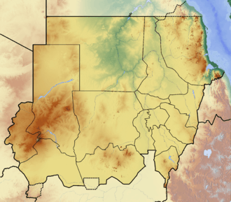 Gulf of 'Agig Location in Sudan | |
| Coordinates | 18°20′N 38°10′E / 18.333°N 38.167°ECoordinates: 18°20′N 38°10′E / 18.333°N 38.167°E |
| Ocean/sea sources | Red Sea |
| Basin countries | Sudan |
| Max. length | 13 km (8.1 mi) |
| Max. width | 20 km (12 mi) |
| Islands | Numerous[1] |
| Official name | Suakin-Gulf of Agig |
| Designated | 2 February 2009 |
| Reference no. | 1860[2] |
Gulf of ‘Agig or Khalig ‘Agig[3] is a body of water on the coastline of Sudan on the Red Sea. It has been designated as a protected Ramsar site since 2009.[2]
Geography
The Gulf of ‘Agig is northeast-facing and is located 160 km to the southeast of Port Sudan.[1] It has small islands on its eastern side, The ‘Amarāt Islands close to its mouth, and the smaller Hayyis Wa Karai Islands on its southwestern part, close to the shore.[3]
References
- 1 2 GoogleEarth
- 1 2 "Suakin-Gulf of Agig". Ramsar Sites Information Service. Retrieved 25 April 2018.
- 1 2 "Khalig 'Agig". Mapcarta. Retrieved 14 October 2016.
This article is issued from
Wikipedia.
The text is licensed under Creative Commons - Attribution - Sharealike.
Additional terms may apply for the media files.