Gilshochill
| Gilshochill | |
|---|---|
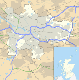 Gilshochill Gilshochill shown within Glasgow | |
| Population | 5,000 (August 2007 estimate) |
| OS grid reference | NS5748469360 |
| Council area | |
| Lieutenancy area |
|
| Country | Scotland |
| Sovereign state | United Kingdom |
| Post town | Glasgow |
| Postcode district | G20 |
| Dialling code | 0141 |
| Police | Scottish |
| Fire | Scottish |
| Ambulance | Scottish |
| EU Parliament | Scotland |
| UK Parliament | |
| Scottish Parliament | |
Gilshochill (/ˈɡɪlʃiˌhɪl/ GIL-shee-hil; Scots: Gilshochull[1]) is located to the north west of Maryhill in the City of Glasgow, Scotland. It is the district of which the location of the Forth and Clyde Canal meets the Port Dundas branch of the canal. It is immediately to the north of the location of the Maryhill basin and Maryhill lock. Gilshochill is an elevated residential area. Its highest point sits about 150 metres above sea level. Gilshochill is spread over the area around Sandbank Street, bordering areas of Cadder and Summerston. Several thousand people live in Gilshochill and it falls under the G20 area postal code. Gilshochill railway station is in the area.
Gilshochill comprises semi-detached style private owned homes set in private housing estates overlooking the city of Glasgow, some Victorian, 18th and 17th century buildings. Several towers such as the 20 storey high rise tower blocks at Glenavon road and some tenement dwellings.
Gilshochill is set in one of the oldest areas in Maryhill, one of the oldest churches in the area is found here dating from the late 17th century. Some houses built around the same time can also be found there.
There are also a very large number of council dwellings in this area. Some are scheduled for demolition in the future.
References
- ↑ "Archived copy". Archived from the original on 22 January 2013. Retrieved 2012-12-20. List of railway station names
See also