Garður
| Garður | |
|---|---|
 Aerial view of Garður in 2018 | |
 Coat of arms of Garður | |
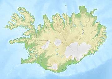
 Location of the municipality | |
 Garður | |
| Region | Southern Peninsula |
| Constituency | Southwest Constituency |
| Mayor | Magnús Stefánsson |
| Area | 21 km2 (8.1 sq mi) |
| Population | 1,409 |
| Density | 67.10/km2 (173.8/sq mi) |
| Municipal number | 2504 |
| Postal code(s) | 250 |
| Website |
svgardur |
Garður is a municipality and town located in southwestern Iceland, bordered by the Faxaflói Bay on the Southern Peninsula.
The town Gardur, which means garden or yard, was named after one of the many earthen walls once erected on the boundaries between local properties.[1] Garður was mentioned in the Book of Settlement when Ingólfur Arnarson, the first settler in Iceland, gave his cousin Steinunn Gamla this area of land.[2]
Overview


The rich fishing grounds by the shore remain the town's economic base. A great deal of fishing was carried out here in earlier centuries, and there are relics to be found along the shore. Garður remains a strong fishing center with fish processing firms.
The Garður Peninsula Historical Museum, which is located at the peninsula, tells the story of the fishermen and the history of the people who lived and worked in the community.[4]
Garður is also known for its lighthouses. The old Garðskagi Lighthouse was built in 1897 and was used until recently as a centre for studying the thousands of migrating birds which arrive there from Greenland and North America every year to breed on the surrounding shore.
Sports
The local sports club is called Víðir. Their football team played the 2011 season in the men´s third division. They last played in Iceland's top tier in 1991.[5]
References
External links
