Tálknafjarðarhreppur
| Tálknafjarðarhreppur | |
|---|---|
 Skyline of Tálknafjarðarhreppur | |
 Coat of arms of Tálknafjarðarhreppur | |
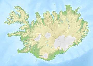
 Location of the municipality | |
 Tálknafjarðarhreppur | |
| Region | Westfjords |
| Constituency | Northwest Constituency |
| Manager | Indriði Indriðason |
| Area | 176 km2 (68 sq mi) |
| Population | 297 |
| Density | 1.69/km2 (4.4/sq mi) |
| Municipal number | 4604 |
| Postal code(s) | 460 |
| Website |
talknafjordur |
Tálknafjarðarhreppur is a municipality in Iceland. Its only settlement is Tálknafjörður. On the land side the municipality is surrounded by the municipality of Vesturbyggð. There is considerable cooperation between the two municipalities but unification was voted down in the latest election.
References
This article is issued from
Wikipedia.
The text is licensed under Creative Commons - Attribution - Sharealike.
Additional terms may apply for the media files.