Patreksfjörður
| Patreksfjörður | |
|---|---|
| Town | |
 Patreksfjörður, June 2008 | |
 Location of the Municipality of Vesturbyggð | |
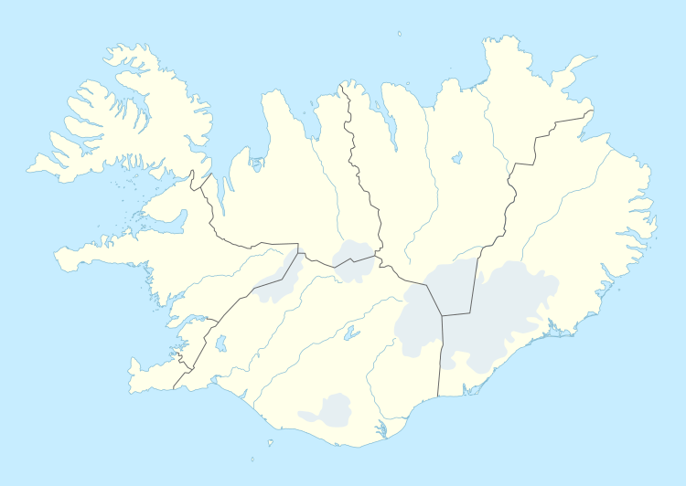 Patreksfjörður Location of the Municipality of Vesturbyggð | |
| Coordinates: 65°35′43″N 23°59′5″W / 65.59528°N 23.98472°WCoordinates: 65°35′43″N 23°59′5″W / 65.59528°N 23.98472°W | |
| Country |
|
| Constituency[1] | Northwest Constituency |
| Region[2] | Westfjords |
| Municipality |
|
| Population (2016) | |
| • Total | 683 |
| Time zone | UTC+0 (GMT) |
| Póstnúmer | 450 |
| Website | Official website |
Patreksfjörður ("Patrick's fjord") is an Icelandic village in the Westfjords with 687 inhabitants (2017 census).
The town was named after Saint Patrick who was the spiritual guide of Örlygur Hrappson, the original settler in the area who came from the Hebrides. Its economy is mainly based on its fisheries.
Amenities include a swimming pool, bank, campsite, four guesthouses, a hotel, two restaurants, two cafes and a gas station. In town is a hospital, police station and the town hall for the Municipality of Vesturbyggd.
Olympian Leiknir Jónsson was born here.[3]

Climate
Patreksfjörður has a tundra climate (ET).
| Climate data for Kvígindisdalur, 4.7 km (2.9 mi) from Patreksfjörður (1961–1990) | |||||||||||||
|---|---|---|---|---|---|---|---|---|---|---|---|---|---|
| Month | Jan | Feb | Mar | Apr | May | Jun | Jul | Aug | Sep | Oct | Nov | Dec | Year |
| Record high °C (°F) | 10.4 (50.7) |
10.5 (50.9) |
10.5 (50.9) |
12.5 (54.5) |
18.6 (65.5) |
21.0 (69.8) |
20.5 (68.9) |
21.0 (69.8) |
18.0 (64.4) |
16.2 (61.2) |
11.7 (53.1) |
11.5 (52.7) |
21 (69.8) |
| Average high °C (°F) | 1.2 (34.2) |
1.7 (35.1) |
1.4 (34.5) |
3.9 (39) |
7.3 (45.1) |
10.1 (50.2) |
11.7 (53.1) |
11.7 (53.1) |
8.8 (47.8) |
5.7 (42.3) |
2.8 (37) |
1.5 (34.7) |
5.6 (42.2) |
| Daily mean °C (°F) | −1.2 (29.8) |
−0.7 (30.7) |
−1.2 (29.8) |
1.3 (34.3) |
4.7 (40.5) |
7.8 (46) |
9.4 (48.9) |
9.2 (48.6) |
6.3 (43.3) |
3.6 (38.5) |
0.7 (33.3) |
−0.9 (30.4) |
3.3 (37.8) |
| Average low °C (°F) | −3.8 (25.2) |
−3.1 (26.4) |
−3.5 (25.7) |
−1.0 (30.2) |
2.3 (36.1) |
5.6 (42.1) |
7.3 (45.1) |
7.2 (45) |
4.3 (39.7) |
1.7 (35.1) |
−1.6 (29.1) |
−3.4 (25.9) |
1 (33.8) |
| Record low °C (°F) | −17.4 (0.7) |
−17.0 (1.4) |
−18.5 (−1.3) |
−18.0 (−0.4) |
−9.4 (15.1) |
−2.7 (27.1) |
1.5 (34.7) |
0.2 (32.4) |
−4.0 (24.8) |
−9.2 (15.4) |
−12.0 (10.4) |
−16.0 (3.2) |
−18.5 (−1.3) |
| Average precipitation mm (inches) | 129.3 (5.091) |
126.0 (4.961) |
124.2 (4.89) |
112.1 (4.413) |
62.7 (2.469) |
79.1 (3.114) |
82.2 (3.236) |
97.4 (3.835) |
116.8 (4.598) |
161.9 (6.374) |
148.4 (5.843) |
136.8 (5.386) |
1,376.9 (54.21) |
| Source: Icelandic Met Office (extremes 1956-2004) [4] | |||||||||||||
Transport
Patreksfjörður Airport is an unscheduled airport located across the fjord, nearly 5 km (3 mi) south of the town. The nearest airport with scheduled flights is Bíldudalur Airport, 36 km (22 mi) from Patreksfjörður. Eagle Air connects Bíldudalur and Reykjavik with one daily flight. There are scheduled buses from Patreksfjörður to Bíldudalur Airport. The bus also connects Patreksfjörður with nearby villages Bíldudalur and Tálknafjörður.[5]
References
- ↑ Political division
- ↑ Mainly statistical division
- ↑ Evans, Hilary; Gjerde, Arild; Heijmans, Jeroen; Mallon, Bill. "Leiknir Jónsson Olympic Results". Olympics at Sports-Reference.com. Sports Reference LLC. Retrieved 8 November 2016.
- ↑ "Monthly Temperature and Precipitation Averages for Kvígindisdalur". Icelandic Meteorological Office. Retrieved 4 March 2017.
- ↑ "Scheduled Buses Patreksfjörður-Bíldudalur-Tálknafjörður". nat.is. Retrieved 4 March 2017.
External links
