District Council of Orroroo Carrieton
| District Council of Orroroo Carrieton South Australia | |||||||||||||||
|---|---|---|---|---|---|---|---|---|---|---|---|---|---|---|---|
.jpg) The District Council office, Orroroo | |||||||||||||||
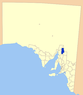 Location of District Council of Orroroo Carrieton | |||||||||||||||
| Population | 895 (2016 census)[1] | ||||||||||||||
| • Density | 0.271/km2 (0.702/sq mi) | ||||||||||||||
| Established | 1997[2] | ||||||||||||||
| Area | 3,300 km2 (1,274.1 sq mi) | ||||||||||||||
| Mayor | Kathie Bowman [3] | ||||||||||||||
| Council seat | Orroroo | ||||||||||||||
| Region | Yorke and Mid North[4] | ||||||||||||||
| State electorate(s) | Stuart[5] | ||||||||||||||
| Federal Division(s) | Grey[6] | ||||||||||||||
| Website | District Council of Orroroo Carrieton | ||||||||||||||
| |||||||||||||||
The District Council of Orroroo Carrieton is a local government area in the Yorke and Mid North region of South Australia.[4] The principal towns are Orroroo and Carrieton; it also includes the localities of Belton, Black Rock, Coomooroo, Erskine, Eurelia, Johnburgh, Minburra, Pekina, Walloway, Yalpara and Yanyarrie, and part of Cradock, Hammond, Moockra, Morchard, Tarcowie and Yatina.[7]
It was created in 1997 from the merger of the District Council of Carrieton and the District Council of Orroroo.[2]
Elected Members
| Ward | Councillor | Notes | |
|---|---|---|---|
| Unsubdivided [3] | Kathie Bowman | Mayor | |
| Malcolm Byerlee | |||
| Grant Chapman | Deputy Mayor | ||
| Joylene Ford | |||
| Ralph Goehring | |||
| Colin Parkyn | |||
| Ahmad Ramadan | |||
References
- ↑ Australian Bureau of Statistics (27 June 2017). "Orroroo/Carrieton (DC)". 2016 Census QuickStats. Retrieved 14 January 2018.

- 1 2 "Orroroo Carrieton (S.A.). Council". National Library of Australia. Retrieved 4 December 2015.
- 1 2 "Elected Members". District Council of Orroroo Carrieton. Retrieved 16 February 2015.
- 1 2 "Yorke and Mid North SA Government region" (PDF). The Government of South Australia. Retrieved 10 October 2014.
- ↑ "District of Stuart Background Profile". Electoral Commission SA. Retrieved 26 September 2015.
- ↑ "Federal electoral division of Grey, boundary gazetted 16 December 2011" (PDF). Australian Electoral Commission. Retrieved 20 August 2015.
- ↑ "Location SA Map Viewer". Government of South Australia. Retrieved 14 February 2016.
External links
Coordinates: 32°44′03″S 138°36′49″E / 32.7341666667°S 138.613611111°E
This article is issued from
Wikipedia.
The text is licensed under Creative Commons - Attribution - Sharealike.
Additional terms may apply for the media files.