Dangihat
| Dangihat डाँगीहाट | |
|---|---|
| Village development committee | |
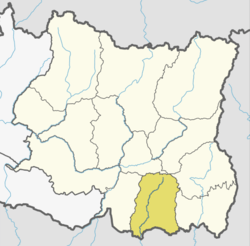
 Dangihat Location in Nepal | |
| Coordinates: 26°38′N 87°27′E / 26.63°N 87.45°ECoordinates: 26°38′N 87°27′E / 26.63°N 87.45°E | |
| Country |
|
| Zone | Koshi Zone |
| District | Morang District |
| Population (1991) | |
| • Total | 15,639 |
| Time zone | UTC+5:45 (Nepal Time) |
Dangihat was a village development committee in Morang District in the Koshi Zone of south-eastern Nepal. It lied west of Bahuni.It consisted of 9 wards.People of different castes lived here mainly Brahmin, Chhetri,Khawas, Rai, Limbu, Rajbanshi etc.At the time of the 1991 Nepal census it had a population of 15,639 people living in 2992 individual households.[1]
References
- ↑ "Nepal Census 2001". Nepal's Village Development Committees. Digital Himalaya. Archived from the original on 12 October 2008. Retrieved 15 December 2008.
This article is issued from
Wikipedia.
The text is licensed under Creative Commons - Attribution - Sharealike.
Additional terms may apply for the media files.