Cottingley, Bradford
| Cottingley | |
|---|---|
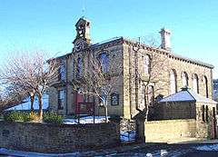 Cottingley Town Hall | |
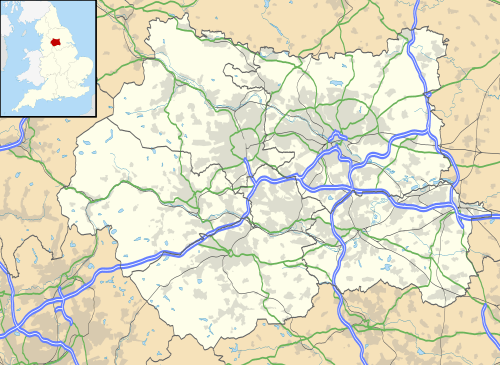 Cottingley Cottingley shown within West Yorkshire | |
| OS grid reference | SE112370 |
| Metropolitan borough | |
| Metropolitan county | |
| Region | |
| Country | England |
| Sovereign state | United Kingdom |
| Post town | BINGLEY |
| Postcode district | BD16 |
| Dialling code | 01274 |
| Police | West Yorkshire |
| Fire | West Yorkshire |
| Ambulance | Yorkshire |
| EU Parliament | Yorkshire and the Humber |
| UK Parliament | |
Cottingley is a suburban village within the City of Bradford in West Yorkshire, England, situated between Shipley and Bingley. It is perhaps best known for the Cottingley Fairies, which appeared in a series of photographs taken there during the early 20th century.
Governance
Cottingley is part of Bingley Rural ward on Bradford City Council, and part of the parliamentary constituency of Shipley, represented since 2005 by the Conservative Philip Davies.
Geography
.jpg)
The village lies in the Aire Valley between Shipley and Bingley approximately 100 metres above sea level. To the north is the A650; Cottingley was formerly on the main road before the highway was built from the Bridge to Bingley in 1825. The land to the east of the B6269 is mainly flat and that to the west rises to a height of 170 metres at March Cote Farm. Cottingley beck cuts a deep, narrow, rocky channel flowing north to the River Aire.
The area lies on Millstone Grit; the lower slopes are covered with boulder clay and some alluvial deposits; there are also signs of glacial drift. Crow Coal mixed with Galliard of approximately 75 ft in thickness was found in the area. To the south it again had coal measures. Old mine shafts litter the fields either side of Cottingley Cliffe Road. These are shown as either Old Coal Pits or Coal pits on the 1852 map of the area, which seems to suggest that some were still being worked in 1852.
Other notes
- Stock House was the home of Mr. Thomas Baines, manufacturer.
- Cottingley Hall is shown on the 1908 map as situated near the site of the present Cottingley Manor Park. On the 1852 map it is referred to as Cottingley House. (As Cottingley Hall bore the date 1659 RAF (Robert & Anne Ferrand) together with the Knights double cross, it would appear that Cottingley House and Cottingley Hall are different names for the same property.)
- Cottingley also had its own reservoir managed by Cottingley Water Works Co. This is shown above Manor Farm (now March Cote Lane) on the local map of 1908.
External links
| Wikimedia Commons has media related to Cottingley, Bradford. |
- Cottingley.Net - The Cottingley Network
- Cottingley Connect - non commercial site charting Cottingley village from domesday to present day including the Cottingley fairy story
- Cottingley at Curlie (based on DMOZ).