Cliffdale Creek
| Cliffdale | |
| Creek | |
| Country | Australia |
|---|---|
| Territory | Queensland |
| Region | Gulf Country |
| Source | |
| - location | China Wall, Gulf Country, Australia |
| - elevation | 166 m (545 ft) |
| Mouth | Elizabeth Creek |
| - elevation | 0 m (0 ft) |
| - coordinates | 16°56′55″S 138°46′31″E / 16.94861°S 138.77528°ECoordinates: 16°56′55″S 138°46′31″E / 16.94861°S 138.77528°E |
| Length | 197 km (122 mi) |
| Basin | 6,209 km2 (2,397 sq mi) |
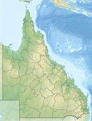 Location of Cliffdale Creek mouth in Queensland | |
| [1] | |
Cliffdale Creek is a creek in Queensland, Australia.
The headwaters of the creek rise at the eastern end of China Wall on the edge of the Barkly Tableland close to the border of the Northern Territory. The creek flows north easterly direction through the mostly uninhabited Gulf Country and eventually discharges into Elizabeth Creek which in turn lows into the Gulf of Carpentaria near Mornington Island.[1]
The catchment area of the creek occupies an 6,209 square kilometres (2,397 sq mi) of which an area of 388 square kilometres (150 sq mi) is composed of estuarine wetlands.[2]
See also
References
- 1 2 "Map of Cliffdale Creek Qld". Bonzle Digital Atlas of Australia. Retrieved 21 July 2015.
- ↑ "Cliffdale Creek drainage basin". WetlandInfo. Queensland Government. Retrieved 21 July 2015.
Rivers of Queensland | |||||||||||||||
|---|---|---|---|---|---|---|---|---|---|---|---|---|---|---|---|
| |||||||||||||||
| |||||||||||||||
| |||||||||||||||
| |||||||||||||||
| |||||||||||||||
| |||||||||||||||
This article is issued from
Wikipedia.
The text is licensed under Creative Commons - Attribution - Sharealike.
Additional terms may apply for the media files.