Bintuni Bay
| Bintuni Bay Teluk Bintuni | |
|---|---|
 | |
 Bintuni Bay | |
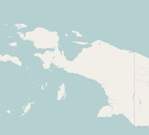
| Location | New Guinea |
| Coordinates | 02°20′S 133°25′E / 2.333°S 133.417°ECoordinates: 02°20′S 133°25′E / 2.333°S 133.417°E |
| Basin countries | Indonesia |
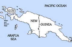
Bintuni Bay (Indonesian: Teluk Bintuni) is the eastward extension or inner bay of Berau Bay off Bird's Head Peninsula of New Guinea. Administratively it is part of West Papua (region), Indonesia. The bay is 12 miles (19.3 km) wide at its entrance and the land on both sides is marsh.[1]
Notes
- ↑ "Sector 5: Southwest Coast of Irian Jaya and off-lying Islands" Sailing directions (enroute): New Guinea (Publication 164, 8th edition) Maritime Safety Information Division, National Geospatial-Intelligence Agency, Bethesda, Maryland, OCLC 63680167
This article is issued from
Wikipedia.
The text is licensed under Creative Commons - Attribution - Sharealike.
Additional terms may apply for the media files.