Wetar Strait
| Wetar Strait Indonesian: Selat Wetar | |
|---|---|
 Wetar Strait | |
 Wetar Strait | |
| Coordinates | 8°20′00″S 126°30′00″E / 8.33333°S 126.50000°ECoordinates: 8°20′00″S 126°30′00″E / 8.33333°S 126.50000°E |
| Type | strait |
| Basin countries |
|
| References | Wetar Strait: Indonesia National Geospatial-Intelligence Agency, Bethesda, MD, USA |
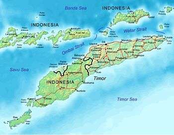
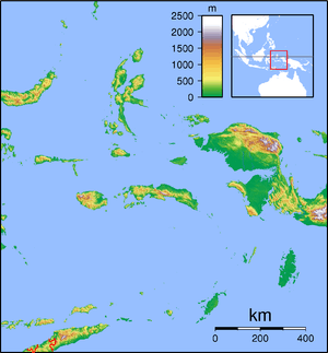
The Wetar Strait (Indonesian: Selat Wetar) separates the eastern part of the island of Timor from the island of Wetar. It thus lies between the nations of Indonesia to the north and East Timor to the south. To the west is Atauro, and beyond it the Ombai Strait; while to the east is the southern part of the Banda Sea and the southernmost of the Maluku Islands. At its narrowest point, the strait is 36 km across.

Mountains of Díli and boats, seen from the sea.
External links
This article is issued from
Wikipedia.
The text is licensed under Creative Commons - Attribution - Sharealike.
Additional terms may apply for the media files.