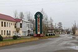
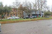
Beylagan (city)
Coordinates: 39°46′32″N 47°37′07″E / 39.77556°N 47.61861°E
| Beyləqan Beyləqan | ||
|---|---|---|
| City & Municipality | ||
 | ||
| ||
 Beyləqan | ||
| Coordinates: 39°46′32″N 47°37′07″E / 39.77556°N 47.61861°E | ||
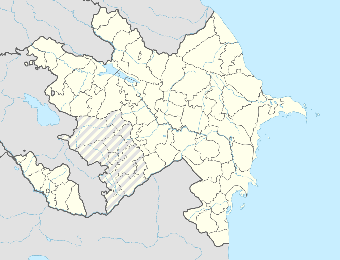
| Country |
| |
| Rayon | Beylagan | |
| Founded | 1403 | |
| Elevation | 60 m (200 ft) | |
| Population (2012)[1] | ||
| • Total | 15 599 | |
| Time zone | UTC+4 (AZT) | |
| • Summer (DST) | UTC+5 (AZT) | |
| Area code(s) | +994 152 | |
| Website | Official website | |

Beylagan (Azerbaijani: Beyləqan, Бейләган/بیلقان; also Beyläqan, Bejlagan, and Beilagan) is the capital city of Beylagan rayon of Azerbaijan. During the Soviet era, it was renamed Zhdanov (Жданов, also Jdanov, Zhdanov, Ždanovsk, and Zhdanovsk) after Stalinist politician Andrei Zhdanov. This move was reverted in 1991 when the city assumed its original name again. Beylagan is one of the oldest towns in Azerbaijan. It is located in the triangle between the Kura and Aras rivers in the Mil steppe.
Economy
23 industrial enterprises were registered in the Beylagan region. In 2009, industrial enterprises of the region, as well as individuals, produced industrial products by 3.6 million AZN at actual prices. The volume of industrial production was 37% more than in the same period of 2006. Industrial products worth 3.7 million AZN were sent to consumers. Beylagan district is one of the important agricultural regions of the republic. The total area of the district is 113.113 hectares of land. 69.8 percent of the total land area, i.e 78,920 hectares, are agricultural land. In addition, the area of the region called the "Blue Lake" - National Park 4,142 hectares, the canal and the road to 31,548 hectares of the Araz river bed under the 343 hectares of the border strip, including 37.213 hectares of land, there are lands of the state fund. Grain, cotton and livestock are the main areas of the region's economy. In addition, the farms grow potatoes, grapes, vegetables, melons and fruits. In 2010, the number of cattle in the region was 55,000 head, and the number of cattle was 290,000. During the year, 34,800 tons of milk were produced in the region.
History
Some historians say that Beylagan is to have been founded by the Sassanid emperor Qobad and it may have been built during the time of Iranian migration and colonization of the region. In pre-Islamic times the city was known as Paytakaran. During the sixth century 'Paidangaran' (as its name is recorded in Syriac) was a diocese of the Assyrian Church of the East, two of whose bishops are known.[2] The city surrendered peacefully to the Arabs and a period of Islamisation ensued, in which the city of Paytakaran became known as Baylaqan. Muslim chronicles describe it as a flourishing city. In the 12th century, the city had to pay tribute to Georgia and was sacked in 1220 by the Mongols, who slaughtered the inhabitants and burned it down. However, survivors subsequently returned and rebuilt it.[3] At the end of the 14th century it was destroyed by Timur, who later rebuilt it, but the city was abandoned. Its ruins are now known as Ören-kala and lie near Kabirli village, a 22 km drive from the modern city of Beylagan.[4]
See also
Notes
- ↑ World Gazetteer: Azerbaijan Archived June 22, 2011, at the Wayback Machine. – World-Gazetteer.com
- ↑ Fiey, Pour un Oriens Christianus Novus, 119
- ↑ Encyclopedia Iranica. C. E. Bosworth. Baylaqan Archived October 4, 2007, at the Wayback Machine.
- ↑ Great Soviet Encyclopedia. Oren-kala.
References
- Fiey, Jean Maurice (1993). Pour un Oriens Christianus Novus: Répertoire des diocèses syriaques orientaux et occidentaux. Beirut: Orient-Institut.
- Beylagan (city) at GEOnet Names Server
External links
| Wikivoyage has a travel guide for Beylaqan. |
.svg.png)