Binn idir an Dá Log
| Binn idir an Dá Log | |
|---|---|
| Irish: Binn idir an Dá Log; the mountain between two hollows | |
 A small chapel near the foot of the mountain | |
| Highest point | |
| Elevation | 702 m (2,303 ft) [1][2] |
| Prominence | 644 m (2,113 ft) [1] |
| Listing | Hewitt, Marilyn |
| Coordinates | 53°30′50″N 9°40′36″W / 53.513853°N 9.676749°WCoordinates: 53°30′50″N 9°40′36″W / 53.513853°N 9.676749°W |
| Geography | |
 Binn idir an Dá Log Location in Ireland | |
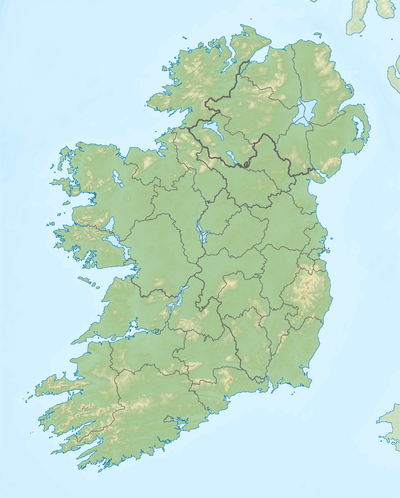
| Location | County Galway, Republic of Ireland |
| Parent range | Maumturks |
| OSI/OSNI grid | L888528 |
Binn idir an Dá Log (Irish: Binn idir an Dá Log; the mountain between two hollows)[3] is a 702-metre (2,303 ft) mountain in the Maumturks range in Connemara, in County Galway, in the west of Ireland. It is a quartize peak, resting between two glacial corries, positioned at the centre of the Maumturks range. It is the highest mountain in the Maumturks range,[1] and is the 52nd highest mountain in Ireland.[4]
Binn idir an Dá Log is sometimes incorrectly named as Barrslievenaroy (or Baurslievenaroy) (Irish: Barrshliabh na Ráthadh; the mountain fort)[5][6] which is a small townland on the north slopes of the mountain.[7][8] The Irish names database records an anglicised version of "Benadolug", which is rarely used.[9]
See also
References
- 1 2 3 MountainViews.ie
- ↑ Peakbagger
- ↑ Paul Tempan (February 2012). "Irish Hill and Mountain Names" (PDF). MountainViews.ie.
- ↑ "Irish Highest 100: The highest 100 Irish mountains with a prominence of +100m". Mountainviews.ie. September 2018.
- ↑ Ordnance Survey Ireland - Online map viewer
- ↑ Placenames Database of Ireland
- ↑ "Townland: Baurslievenaroy Townland, Co. Galway". townland.ie. 2018.
- ↑ "Townland: Barrshliabh na Ráthadh (Barrslievenaroy)". logainm.ie. 2018.
- ↑ "Binn idir an Dá Log (Benadolug)". loganim.ie. 2018.
External links
- The Maamturks Challenge, University College Galway Mountaineering Club
- The Maamturks Challenge: Routecard (2015)
- Mountainviews: Binn idir and da Log

This article is issued from
Wikipedia.
The text is licensed under Creative Commons - Attribution - Sharealike.
Additional terms may apply for the media files.