White Haven, Montana
White Haven is an unincorporated community and census-designated place (CDP) in Lincoln County, Montana, United States. The population was 577 at the 2010 census.[2]
White Haven, Montana | |
|---|---|
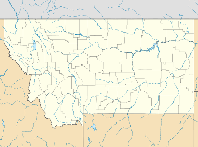 White Haven Location of White Haven, Montana  White Haven White Haven (the United States) | |
| Coordinates: 48°20′41″N 115°31′2″W | |
| Country | United States |
| State | Montana |
| County | Lincoln |
| Area | |
| • Total | 0.99 sq mi (2.56 km2) |
| • Land | 0.99 sq mi (2.56 km2) |
| • Water | 0.00 sq mi (0.00 km2) |
| Elevation | 2,240 ft (680 m) |
| Population (2010) | |
| • Total | 577 |
| • Density | 580/sq mi (230/km2) |
| Time zone | UTC-7 (Mountain (MST)) |
| • Summer (DST) | UTC-6 (MDT) |
| Area code(s) | 406 |
| FIPS code | 30-79935 |
| GNIS feature ID | 2583866[1] |
Geography
White Haven is south of the center of Lincoln County, in the valley of Libby Creek. It is bordered to the south by the Pioneer Junction CDP, and the city of Libby, the Lincoln county seat, is 3.5 miles (5.6 km) to the north. U.S. Route 2 passes through White Haven, leading north (westbound) to Libby and southeast 85 miles (137 km) to Kalispell.
According to the U.S. Census Bureau, the CDP has an area of 1.0 square mile (2.6 km2), all of it recorded as land.[3] Via Libby Creek, the community is part of the Kootenai River watershed, flowing to the Columbia River.
References
- U.S. Geological Survey Geographic Names Information System: White Haven, Montana
- "Total Population: 2010 Census DEC Summary File 1 (P1), White Haven CDP, Montana". data.census.gov. U.S. Census Bureau. Retrieved April 30, 2020.
- "U.S. Gazetteer Files: 2019: Places: Montana". U.S. Census Bureau Geography Division. Retrieved April 30, 2020.
Municipalities and communities of Lincoln County, Montana, United States | ||
|---|---|---|
| Cities | 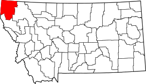 Lincoln County map | |
| Towns | ||
| CDPs | ||
| Other unincorporated communities | ||
This article is issued from Wikipedia. The text is licensed under Creative Commons - Attribution - Sharealike. Additional terms may apply for the media files.