West Kootenai, Montana
West Kootenai is a census-designated place (CDP) in Lincoln County, Montana, United States. The population was 365 at the 2010 census.[2]
West Kootenai, Montana | |
|---|---|
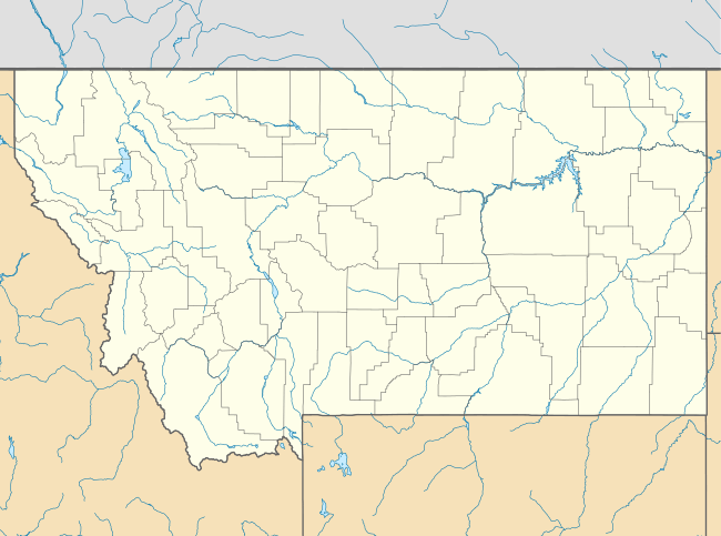 West Kootenai Location of West Kootenai, Montana  West Kootenai West Kootenai (the United States) | |
| Coordinates: 48°57′47″N 115°13′9″W | |
| Country | United States |
| State | Montana |
| County | Lincoln |
| Area | |
| • Total | 16.14 sq mi (41.79 km2) |
| • Land | 16.06 sq mi (41.60 km2) |
| • Water | 0.07 sq mi (0.19 km2) |
| Elevation | 2,780 ft (850 m) |
| Population (2010) | |
| • Total | 365 |
| • Density | 23/sq mi (8.8/km2) |
| Time zone | UTC-7 (Mountain (MST)) |
| • Summer (DST) | UTC-6 (MDT) |
| Area code(s) | 406 |
| FIPS code | 30-79105 |
| GNIS feature ID | 2583864[1] |
Geography
West Kootenai is in northern Lincoln County on the west side of Lake Koocanusa, a large reservoir on the Kootenai River. The community is within the Kootenai National Forest. The northern boundary of the CDP is the Canada–United States border, with the Regional District of East Kootenay, British Columbia, to the north. There is no border crossing through West Kootenai; road access is from the south via West Kootenai Road. The city of Eureka, Montana, 11 miles (18 km) to the southeast as the crow flies, is 30 miles (48 km) distant by road.
According to the U.S. Census Bureau, the West Kootenai CDP has a total area of 16.1 square miles (41.8 km2), of which 16.1 square miles (41.6 km2) are land and 0.1 square miles (0.2 km2), or 0.46%, are water.[3]
See also
References
- U.S. Geological Survey Geographic Names Information System: West Kootenai, Montana
- "Total Population: 2010 Census DEC Summary File 1 (P1), West Kootenai CDP, Montana". data.census.gov. U.S. Census Bureau. Retrieved April 30, 2020.
- "U.S. Gazetteer Files: 2019: Places: Montana". U.S. Census Bureau Geography Division. Retrieved April 30, 2020.
Municipalities and communities of Lincoln County, Montana, United States | ||
|---|---|---|
| Cities | 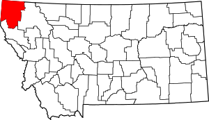 Lincoln County map | |
| Towns | ||
| CDPs | ||
| Other unincorporated communities | ||