Stryker, Montana
Stryker is an unincorporated community and census-designated place (CDP) in Lincoln County, Montana, United States. As of the 2010 census it had a population of 26.[3] Stryker has the 59933 ZIP code.[1]
Stryker, Montana | |
|---|---|
 Stryker post office | |
 Stryker  Stryker | |
| Coordinates: 48°40′27″N 114°46′13″W | |
| Country | United States |
| State | Montana |
| County | Lincoln |
| Area | |
| • Total | 1.03 sq mi (2.67 km2) |
| • Land | 1.03 sq mi (2.67 km2) |
| • Water | 0.0 sq mi (0.0 km2) |
| Elevation | 3,290 ft (1,000 m) |
| Population (2010) | |
| • Total | 26 |
| • Density | 25/sq mi (9.7/km2) |
| Time zone | UTC-7 (Mountain (MST)) |
| • Summer (DST) | UTC-6 (MDT) |
| ZIP code | 59933[1] |
| Area code(s) | 406 |
| GNIS feature ID | 791609[2] |
| FIPS code | 30-71575 |
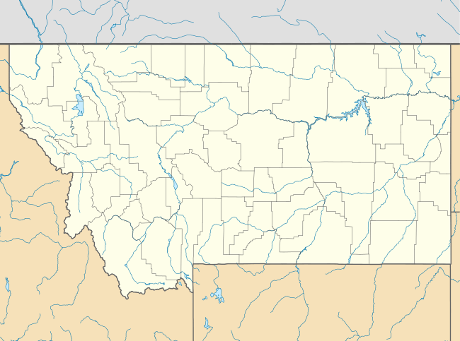
Stryker is located in northeastern Lincoln County on U.S. Route 93, 20 miles (32 km) southeast of Eureka and 45 miles (72 km) northwest of Kalispell. It is located just south of a drainage divide separating the Stillwater River, which runs just east of Stryker and flows southeast to the Flathead River, from Summit Creek, which flows northwest and is part of the Tobacco River watershed flowing to the Kootenai River. According to the U.S. Census Bureau, the Stryker CDP has an area of 1.0 square mile (2.7 km2), all of which is recorded as land.[4]
Images
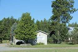
 A building in Stryker
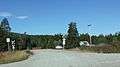 Railroad crossing
References
| Wikimedia Commons has media related to Stryker, Montana. |
- "Stryker, Montana Zip Code". zip-codes.com. Retrieved January 11, 2014.
- "US Board on Geographic Names". United States Geological Survey. 2007-10-25. Retrieved 2008-01-31.
- "Total Population: 2010 Census DEC Summary File 1 (P1), Stryker CDP, Montana". data.census.gov. U.S. Census Bureau. Retrieved April 29, 2020.
- "U.S. Gazetteer Files: 2019: Places: Montana". U.S. Census Bureau Geography Division. Retrieved April 29, 2020.
Municipalities and communities of Lincoln County, Montana, United States | ||
|---|---|---|
| Cities | 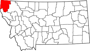 Lincoln County map | |
| Towns | ||
| CDPs | ||
| Other unincorporated communities | ||