Sunflower, Arizona
Sunflower is an unincorporated community in Maricopa County, Arizona, United States. Sunflower is located near Arizona State Route 87 22.8 miles (36.7 km) northeast of Fountain Hills.
Sunflower, Arizona | |
|---|---|
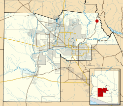 Location of Sunflower in Maricopa County, Arizona | |
| Coordinates: 33°51′51″N 111°28′03″W | |
| Country | United States |
| State | Arizona |
| County | Maricopa |
| Elevation | 3,405 ft (1,038 m) |
| Time zone | UTC-7 (Mountain (MST)) |
| Area code(s) | 480 |
| GNIS feature ID | 34951[1] |
History
The location was a camp site until the 1930s, when Captain Harold Booth led a group of cohorts to the area.[2]
The town saw flooding during when the remnants of Tropical Storm Norma hit the area in 1970.[3]
The community was located near now-abandoned mercury mines, and old maps still refer to the mine as Sunflower Mine.[4]
The community was evacuated in 2005 due to the threat of a nearby fire.[5]
References
- U.S. Geological Survey Geographic Names Information System: Sunflower, Arizona
- "No Sunflower, Arizona, until camp arrives". Grand Junction Daily Sentinel. October 8, 1933.
- "Bob Lindmeier's Weather Facts". The Capital Times. September 4, 2000.
- "Abandoned mercury mine an adventure". Arizona Republic. February 27, 1997.
- "Wildfire threatens tiny town in southwestern Utah". Appleton Post-Crescent. July 23, 2005.
Municipalities and communities of Maricopa County, Arizona, United States | ||
|---|---|---|
| Cities | 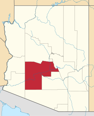 | |
| Towns | ||
| CDPs | ||
| Populated places |
| |
| Indian reservations | ||
| Ghost towns/ former populated places | ||
| Footnotes | ‡This populated place also has portions in an adjacent county or counties | |
This article is issued from Wikipedia. The text is licensed under Creative Commons - Attribution - Sharealike. Additional terms may apply for the media files.