Chandler Heights, Arizona
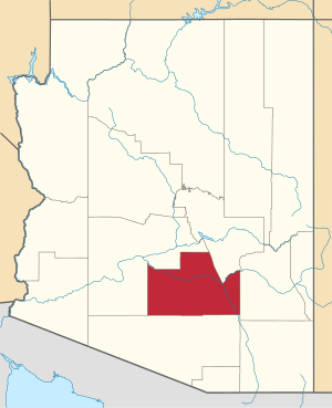
Chandler Heights is an unincorporated community in Maricopa and Pinal counties, Arizona, United States. Chandler Heights is 11 miles (18 km) southeast of Chandler. Formerly, Chandler Heights had a ZIP code of 85227, but it has since been abolished, and the United States Postal Service now uses "Queen Creek" for all Chandler Heights addresses.
Chandler Heights, Arizona | |
|---|---|
 Chandler Heights  Chandler Heights | |
| Coordinates: 33°12′43″N 111°41′10″W | |
| Country | United States |
| State | Arizona |
| Counties | Maricopa and Pinal |
| Elevation | 1,421 ft (433 m) |
| Time zone | UTC-7 (Mountain (MST)) |
| ZIP code | 85227 |
| Area code(s) | 480 |
| GNIS feature ID | 2749[1] |
Much of Chandler Heights is located within the planning boundaries of the town of Queen Creek for future annexation, with a small portion (west of Recker Road) extending into the planning boundaries of the town of Gilbert.
References
Municipalities and communities of Maricopa County, Arizona, United States | ||
|---|---|---|
| Cities | 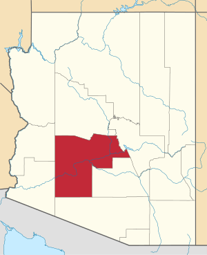 | |
| Towns | ||
| CDPs | ||
| Populated places |
| |
| Indian reservations | ||
| Ghost towns/ former populated places | ||
| Footnotes | ‡This populated place also has portions in an adjacent county or counties | |
This article is issued from Wikipedia. The text is licensed under Creative Commons - Attribution - Sharealike. Additional terms may apply for the media files.