Skogan Peak
Skogan Peak is a 2,662-metre (8,734-foot) mountain summit located in Kananaskis Country in the Canadian Rockies of Alberta, Canada. Skogan Peak's nearest higher peak is Wind Mountain, 8.8 km (5.5 mi) to the southwest.[1] Skogan Peak can be seen from Highway 40 north of the Kananaskis Village area, and from the Barrier Lake area.
| Skogan Peak | |
|---|---|
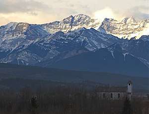 Skogan Peak seen from Morley | |
| Highest point | |
| Elevation | 2,662 m (8,734 ft) [1][2] |
| Prominence | 635 m (2,083 ft) [1] |
| Parent peak | Wind Mountain (3153 m)[1] |
| Coordinates | 51°00′06″N 115°08′42″W |
| Geography | |
 Skogan Peak Location of Skogan Peak in Alberta  Skogan Peak Skogan Peak (Canada) | |
| Location | Alberta, Canada |
| Parent range | Kananaskis Range Canadian Rockies |
| Topo map | NTS 82J/14 |
| Geology | |
| Age of rock | Cambrian |
| Type of rock | limestone |
| Climbing | |
| Easiest route | Scrambling[3] |
Geology
Skogan Peak is composed of sedimentary rock laid down during the Precambrian to Jurassic periods. Formed in shallow seas, this sedimentary rock was pushed east and over the top of younger rock during the Laramide orogeny.[4]
Climate
Based on the Köppen climate classification, Skogan Peak is located in a subarctic climate zone with cold, snowy winters, and mild summers.[5] Temperatures can drop below −20 °C with wind chill factors below −30 °C. Precipitation runoff from the mountain drains into tributaries of the Bow River.
References
- "Skogan Peak". Bivouac.com. Retrieved 2018-12-23.
- "Skogan Peak, Canada". Peakbagger.com.
- More Scrambles in the Canadian Rockies: 2nd Edition, Andrew Nugara, Rocky Mountain Books, 2014, page 276
- Gadd, Ben (2008). "Geology of the Rocky Mountains and Columbias". Cite journal requires
|journal=(help) - Peel, M. C.; Finlayson, B. L. & McMahon, T. A. (2007). "Updated world map of the Köppen−Geiger climate classification". Hydrol. Earth Syst. Sci. 11: 1633–1644. ISSN 1027-5606.
See also
- Mountains of Alberta
- Geography of Alberta
- List of mountains of Canada
- Geology of Alberta
Nearby
Gallery
 Mount Lorette with Skogan Peak behind it to left
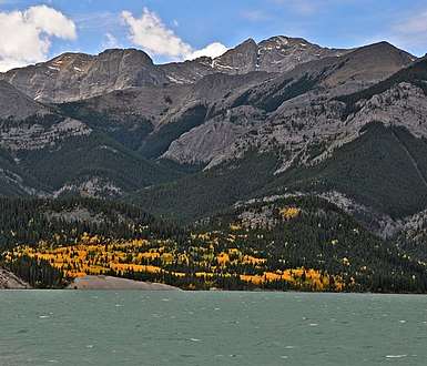 Skogan Peak from Barrier Lake
 Skogan Peak summit
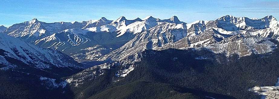
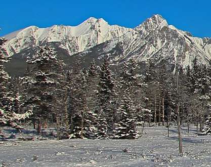 Skogan Peak centered with Lorette to right
.jpg) Skogan in upper right corner
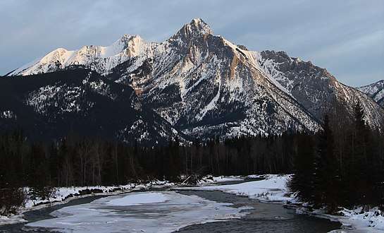
Skogan in upper right corner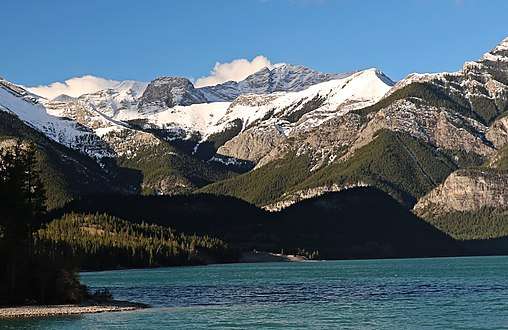 Skogan Peak seen from Barrier Lake