Pogledets Island
Pogledets Island (Bulgarian: остров Погледец, romanized: ostrov Pogledets, IPA: [ˈɔstrof ˈpɔɡlɛdɛt͡s]) is the northernmost of Dunbar Islands off Varna Peninsula, Livingston Island in the South Shetland Islands. The feature is ice-free, crescent shaped facing southwest, and extending 200 m in north-south direction and 170 m in east-west direction. The area was visited by early 19th century sealers.
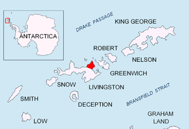 Location of Varna Peninsula on Livingston Island in the South Shetland Islands | |
 Pogledets Island Location of Pogledets Island  Pogledets Island Pogledets Island (Antarctic Peninsula) | |
| Geography | |
|---|---|
| Location | Antarctica |
| Coordinates | 62°27′39.7″S 60°09′30″W |
| Archipelago | South Shetland Islands |
| Administration | |
| Administered under the Antarctic Treaty System | |
| Demographics | |
| Population | Uninhabited |
The island is named after Pogledets Peak in Rila Mountain and its namesake in Stara Planina, Bulgaria.
Location
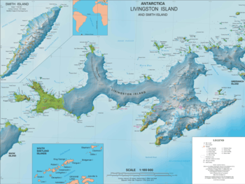
Pogledets Island is located 860 m northeast of Zavala Island, 450 m northwest of Aspis Island and 1.45 km southwest of Williams Point, Livingston Island. British mapping in 1968 and Bulgarian mapping in 2009.
Maps
- Livingston Island to King George Island. Scale 1:200000. Admiralty Nautical Chart 1776. Taunton: UK Hydrographic Office, 1968.
- L.L. Ivanov. Antarctica: Livingston Island and Greenwich, Robert, Snow and Smith Islands. Scale 1:120000 topographic map. Troyan: Manfred Wörner Foundation, 2009. ISBN 978-954-92032-6-4 (Second edition 2010, ISBN 978-954-92032-9-5)
- Antarctic Digital Database (ADD). Scale 1:250000 topographic map of Antarctica. Scientific Committee on Antarctic Research (SCAR). Since 1993, regularly upgraded and updated.
References
- Bulgarian Antarctic Gazetteer. Antarctic Place-names Commission. (details in Bulgarian, basic data in English)
- Pogledets Island. SCAR Composite Antarctic Gazetteer.
External links
- Pogledets Island. Copernix satellite image
This article includes information from the Antarctic Place-names Commission of Bulgaria which is used with permission.
| General |
| .svg.png) |
|---|---|---|
| Geographic regions | ||
| Waterways | ||
| Famous explorers | ||