Naivasha Airport
Naivasha Airport is an airport in Naivasha, Kenya.
Naivasha Airport | |||||||||||
|---|---|---|---|---|---|---|---|---|---|---|---|
| Summary | |||||||||||
| Airport type | Public, Civilian | ||||||||||
| Owner | Kenya Airports Authority | ||||||||||
| Serves | Naivasha, Kenya | ||||||||||
| Location | Naivasha, | ||||||||||
| Elevation AMSL | 6,380 ft / 1,945 m | ||||||||||
| Coordinates | 00°47′06″S 36°26′02″E | ||||||||||
| Map | |||||||||||
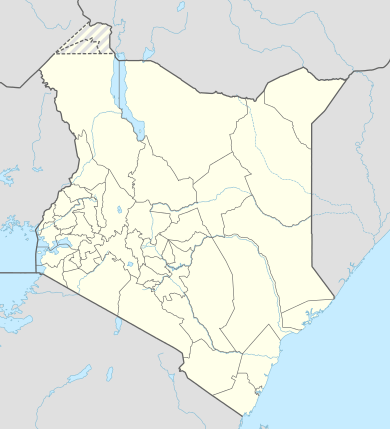 Naivasha Location of Naivasha Airport in Kenya Placement on map is approximate | |||||||||||
| Runways | |||||||||||
| |||||||||||
Location
Naivasha Airport (ICAO: HKNV) is located in Nakuru County, in the town of Naivasha, at a location called Karagite, approximately 90 kilometres (56 mi), by road, northwest of Nairobi, the capital of the Republic of Kenya and the largest city in that country.[1]
Its location lies approximately 87 kilometres (54 mi), by air, northwest of Nairobi International Airport, the country’s largest civilian airport.[2] The geographic coordinates of this airport are:0° 47' 6.00"S, 36° 26' 2.00"E (Latitude:-0.785000; Longitude:36.433890).
Overview
Naivasha Airport is a small civilian airport, serving the town of Naivasha and surrounding communities. The airport is situated 6,380 feet (1,945 m) above sea level. Naivasha has a single asphalt runway that is 3,616 feet (1,102 m) long.[3]
Airlines and destinations
| Airlines | Destinations |
|---|---|
| Safarlink | Maasai Mara, Nairobi-Wilson |
References
- "Distance between Naivasha (Rift Valley) and Hilton Nairobi (Nairobi Area) (Kenya)". distancecalculator.globefeed.com. Retrieved 2018-08-21.
- "Distance between Naivasha (Rift Valley) and Jomo Kenyatta Airport Nairobi (Nairobi Area) (Kenya)". distancecalculator.globefeed.com. Retrieved 2018-08-21.
- "HKNV - Naivasha, KE - Airport - Great Circle Mapper". www.gcmap.com. Retrieved 2018-11-09.