Kalokol Airport
Kalokol Airport (IATA: KLK, ICAO: HKFG), also named Fergusons Gulf Airport, is an airport located in Kalokol, a village in Turkana County in northwestern Kenya, on the western shores of Lake Turkana, close to the International border with Ethiopia.
Kalokol Airport Fergusons Gulf | |||||||||||
|---|---|---|---|---|---|---|---|---|---|---|---|
| Summary | |||||||||||
| Airport type | Public, Civilian | ||||||||||
| Owner | Kenya Airports Authority | ||||||||||
| Serves | Kalokol | ||||||||||
| Location | Kalokol, | ||||||||||
| Elevation AMSL | 1,245 ft / 379 m | ||||||||||
| Coordinates | 03°29′24″N 35°50′24″E | ||||||||||
| Map | |||||||||||
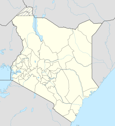 KLK Location of Kalokol Airport in Kenya Placement on map is approximate | |||||||||||
| Runways | |||||||||||
| |||||||||||
By air, Kalokol airport is situated approximately 552 kilometres (343 mi) northwest of Nairobi International Airport, Kenya's largest civilian airport.[1] The geographic coordinates of this airport are:3° 29' 24.00"N, 35° 50' 24.00"E (Latitude:3.490000; Longitude:35.840000).
Overview
Kalokol Airport is a small civilian airport, serving the village of Kalokol. Situated at 1,245 feet (379 m) above sea level,[2] the airport has a single asphalt runway 12-30 measuring 3,281 feet (1,000 m) in length.[3]
Airlines and destinations
None at the moment.
References
- "Distance between Lokwakangole (Rift Valley) and Jomo Kenyatta Airport Nairobi (Nairobi Area) (Kenya)". distancecalculator.globefeed.com. Retrieved 21 August 2018.
- "Kalokol Airport (KLK), Kenya airport information". www.searchairportcode.com. Retrieved 21 August 2018.
- Length of Runway At Kolakol Airport Archived 3 February 2013 at Archive.today