Kilaguni Airport
Kilaguni Airport | |||||||||||||||
|---|---|---|---|---|---|---|---|---|---|---|---|---|---|---|---|
| Summary | |||||||||||||||
| Airport type | Public, Civilian | ||||||||||||||
| Owner | Kenya Airports Authority | ||||||||||||||
| Serves | Kilaguni, Kenya | ||||||||||||||
| Location | Kilaguni, | ||||||||||||||
| Elevation AMSL | 2,750 ft / 840 m | ||||||||||||||
| Coordinates | 02°54′00″S 38°04′26″E | ||||||||||||||
| Map | |||||||||||||||
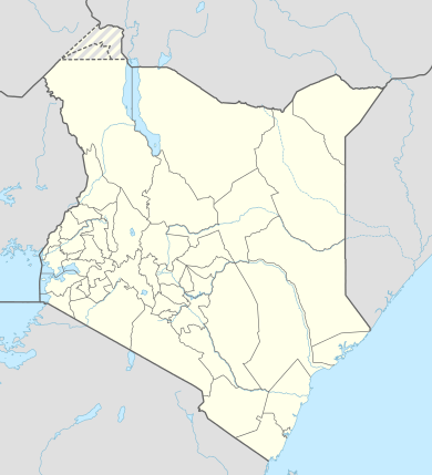 HKKL Location of Kilaguni Airport in Kenya Placement on map is approximate | |||||||||||||||
| Runways | |||||||||||||||
| |||||||||||||||
Location
The airport, (IATA: ILU, ICAO: HKKL) is located in Kilaguni, Taita-Taveta County inside Tsavo East National Park, in southeastern Kenya, close to the International border with the Republic of Tanzania.
Its location is approximately 217 kilometres (135 mi), by air, southeast of Nairobi International Airport, the country’s largest civilian airport.[1] The geographic coordinates of this airport are:2° 54' 0.00"N, 38° 4' 26.00"E (Latitude:-2.900000; Longitude:38.073889).
Overview
Kilaguni Airport is a small airport that serves the location of Kilaguni and the adjacent areas of Tsavo National Park. Situated at 2,750 feet (840 m) above sea level,[2] the airport has two unpaved runways, each 5,200 feet (1,600 m) long.[3]
Airlines and destinations
| Airlines | Destinations |
|---|---|
| Safarilink Aviation | Amboseli, Nairobi-Wilson |
References
- "Distance between Jomo Kenyatta Airport Nairobi (Nairobi Area) and Kilaguni Lodge (Coast) (Kenya)". distancecalculator.globefeed.com. Retrieved 2018-08-21.
- "ILU - Kilaguni, KE - Airport - Great Circle Mapper". www.gcmap.com. Retrieved 2018-08-21.
- "Kilaguni, Kenya - Microsoft Flight Simulator X - FSX". www.simtours.net. Retrieved 2018-08-21.
External links
This article is issued from Wikipedia. The text is licensed under Creative Commons - Attribution - Sharealike. Additional terms may apply for the media files.