Kakamega Airport
Kakamega Airport is a small airport in Kenya. It serves the town of Kakamega. At 1,530 metres (5,020 ft) above sea level,[1] the airport has a single asphalt runway which measures 4,200 feet (1,300 m) in length and 49 feet (15 m) in width.[2]
Kakamega Airport | |||||||||||
|---|---|---|---|---|---|---|---|---|---|---|---|
| Summary | |||||||||||
| Airport type | Public, Civilian | ||||||||||
| Owner | Kenya Airports Authority | ||||||||||
| Serves | Kakamega, Kenya | ||||||||||
| Location | Kakamega, | ||||||||||
| Elevation AMSL | 5,020 ft / 1,530 m | ||||||||||
| Coordinates | 00°16′12″N 34°47′00″E | ||||||||||
| Map | |||||||||||
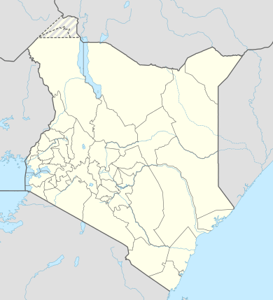 HKKG Location of Kakakamega Airport in Kenya Placement on map is approximate | |||||||||||
| Runways | |||||||||||
| |||||||||||
Location
Kakamega Airport (IATA: GGM, ICAO: HKKG) is in Kakamega County in the town of Kakamega, in western Kenya, close to the international border with the Republic of Uganda.
It is approximately 301 kilometres (187 mi), by air, northwest of Nairobi International Airport, the country's largest civilian airport.[3] The geographic coordinates of this airport are 0° 16' 12.00"N, 34° 47' 0.00"E (Latitude: 0.270000; Longitude: 34.783332).
Airport may be closed due to either construction or demolition of runway and ramp (May 2014).
References
- "Wolfram|Alpha: Making the world's knowledge computable". www.wolframalpha.com. Retrieved 21 August 2018.
- "Kakamega Airport :: Private Jet ::". www.privatejetscharter.net. Retrieved 21 August 2018.
- "Distance between Kakamega (Western) and Jomo Kenyatta Airport Nairobi (Nairobi Area) (Kenya)". distancecalculator.globefeed.com. Retrieved 21 August 2018.
- "Fly540 - East Africa's low cost airline". www.fly540.com. Archived from the original on 21 August 2018. Retrieved 21 August 2018.